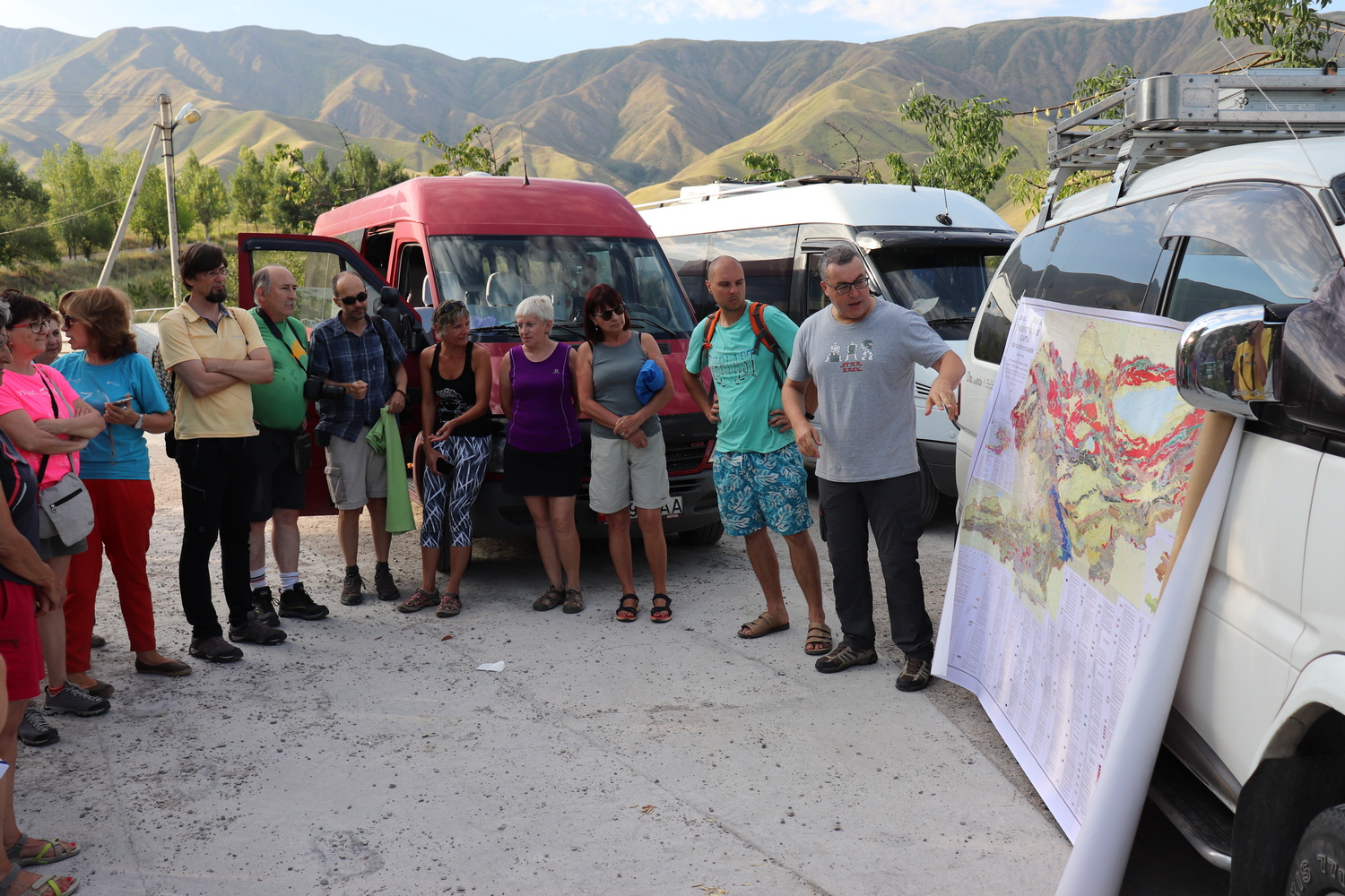
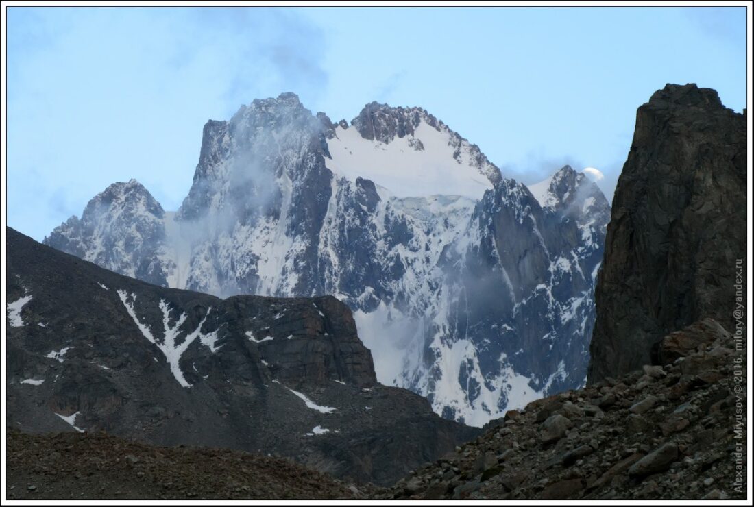
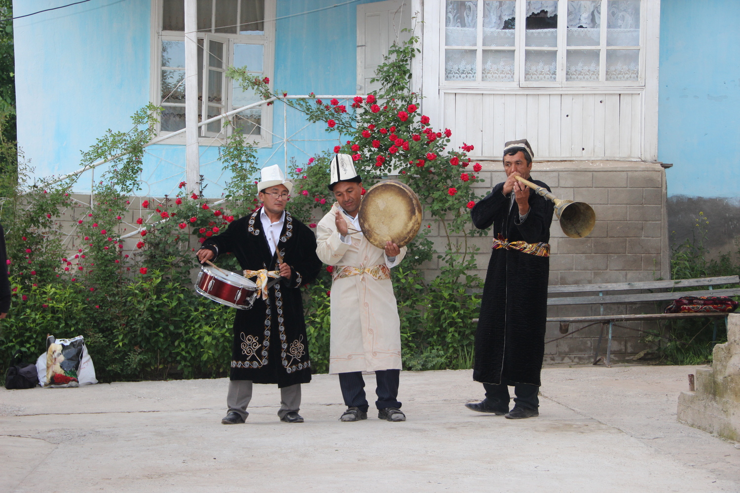
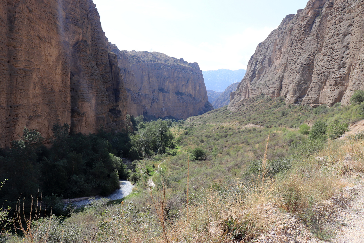
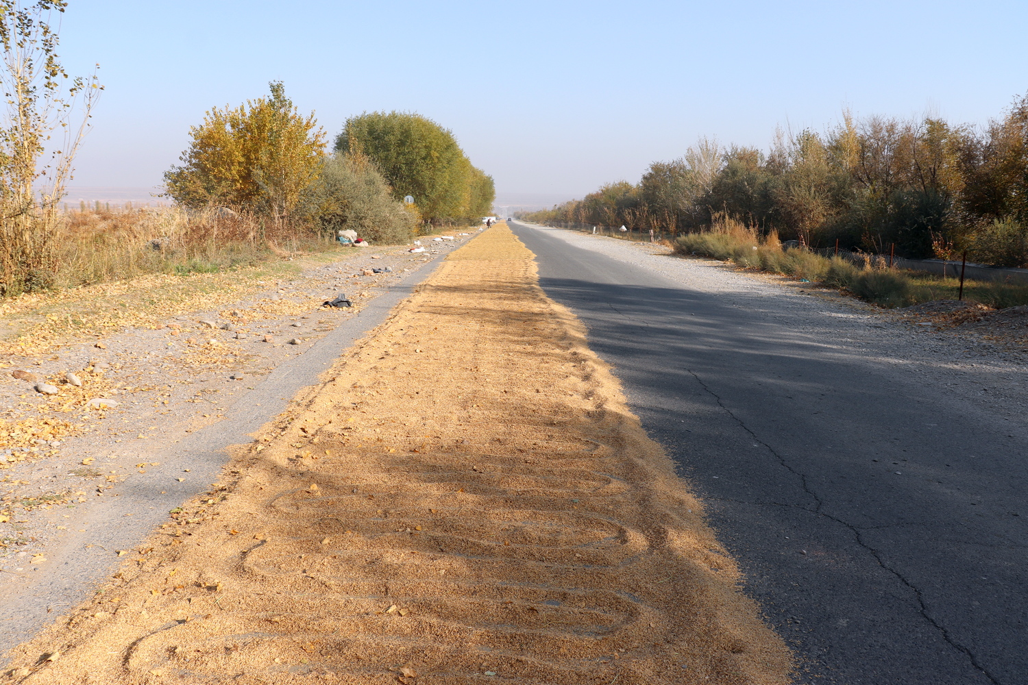
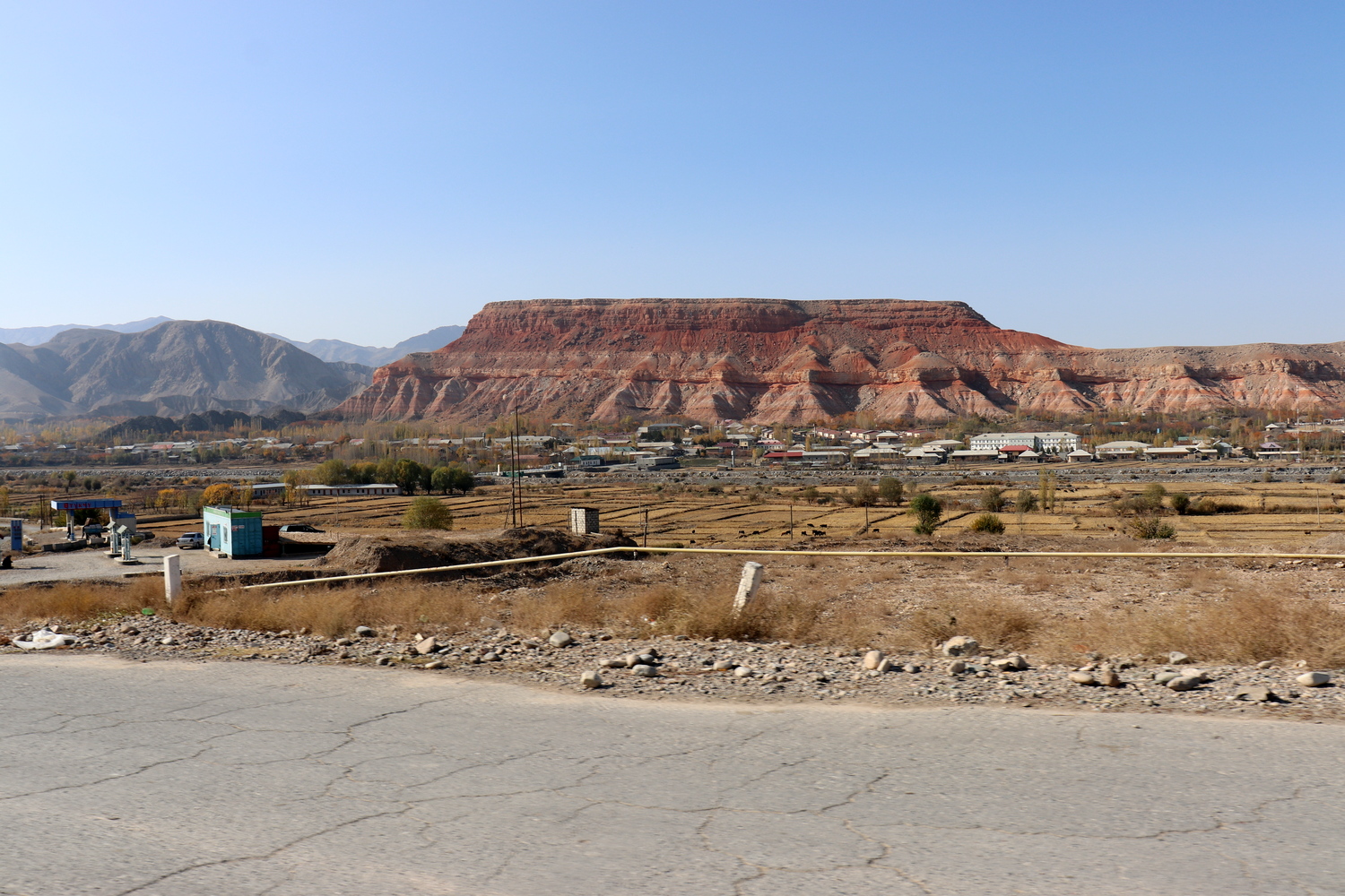
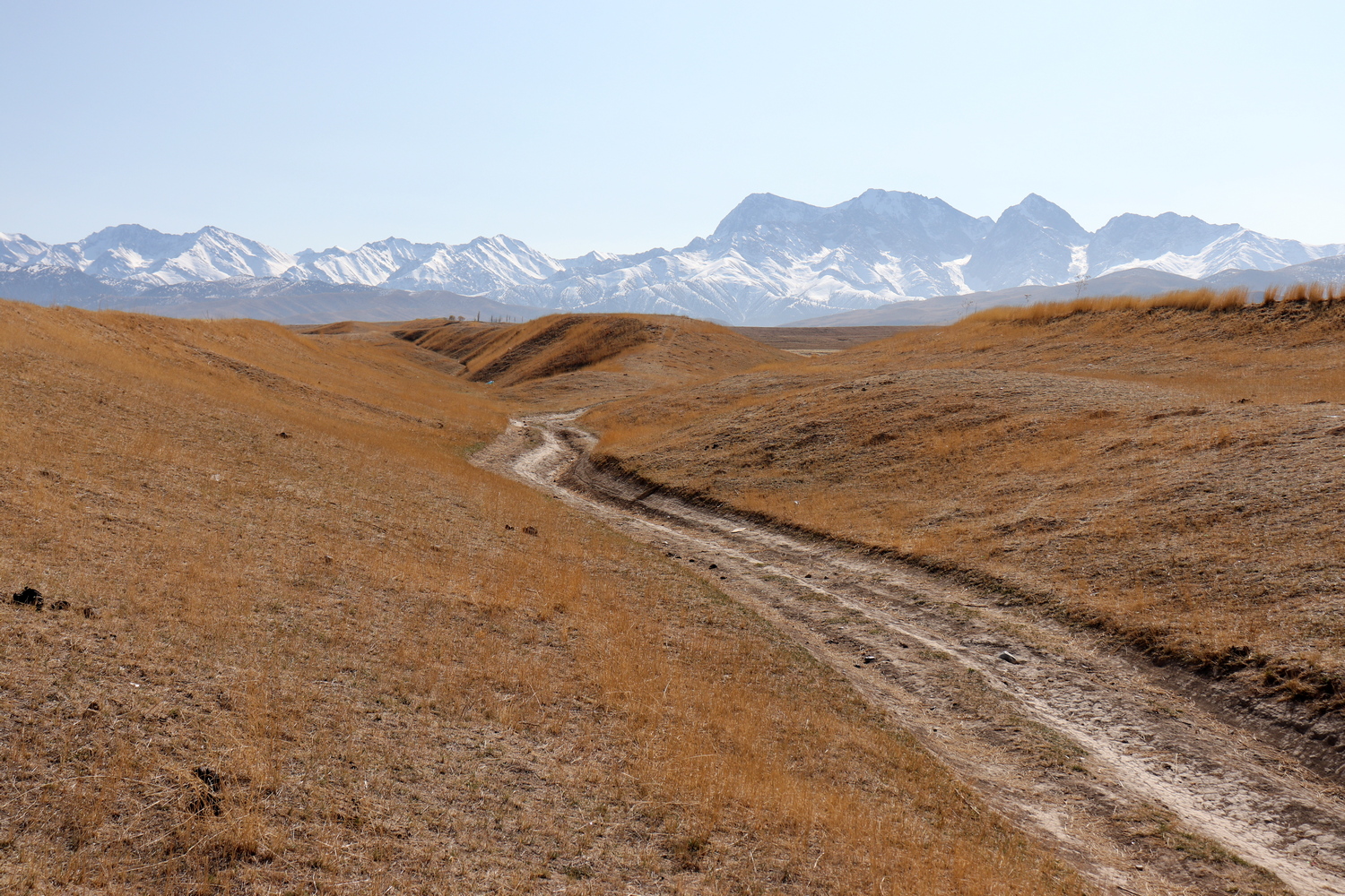
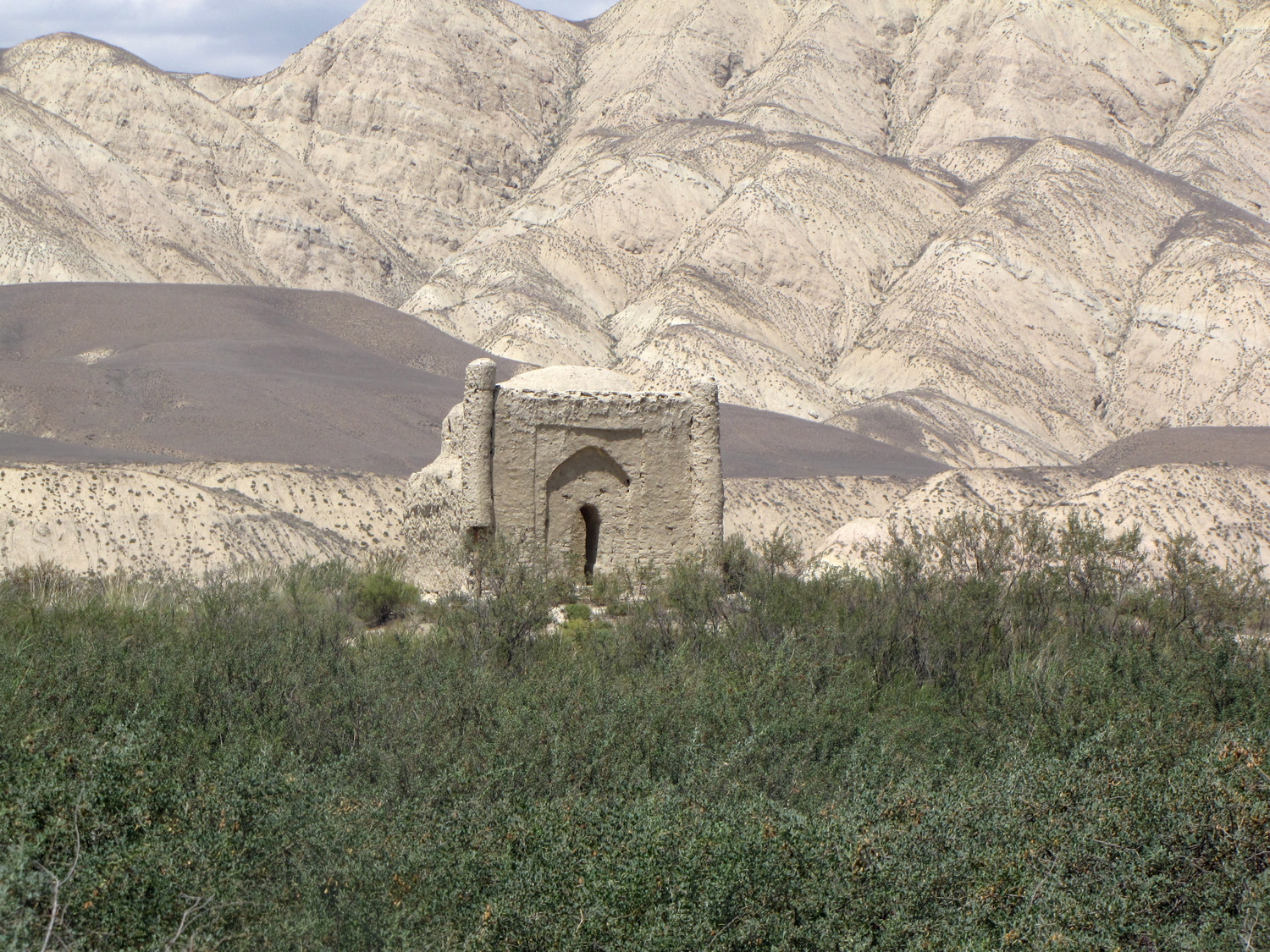
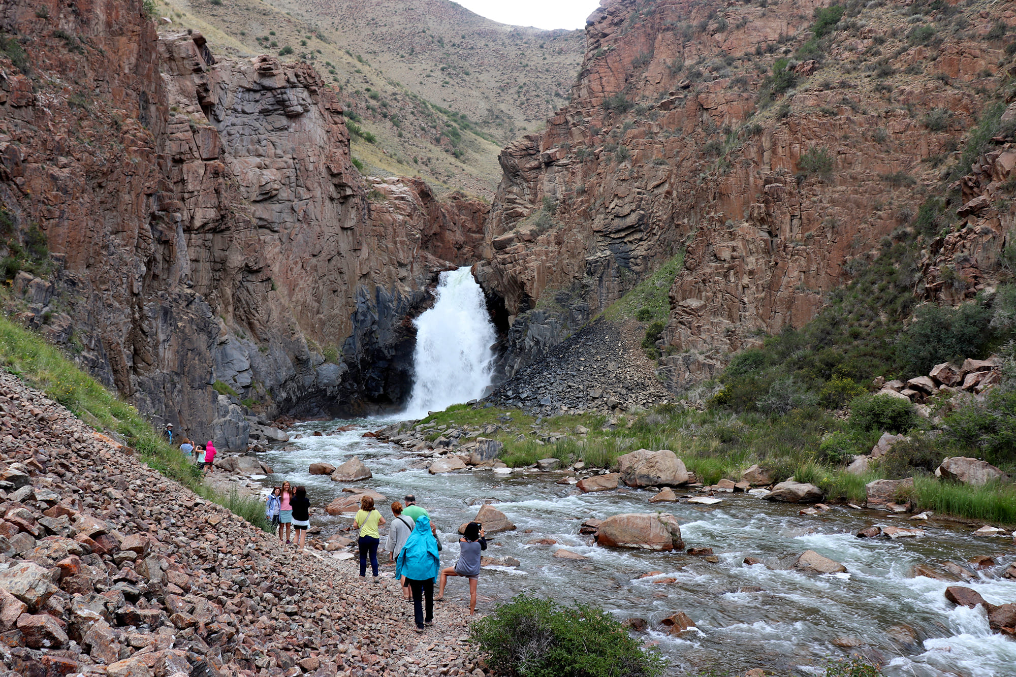
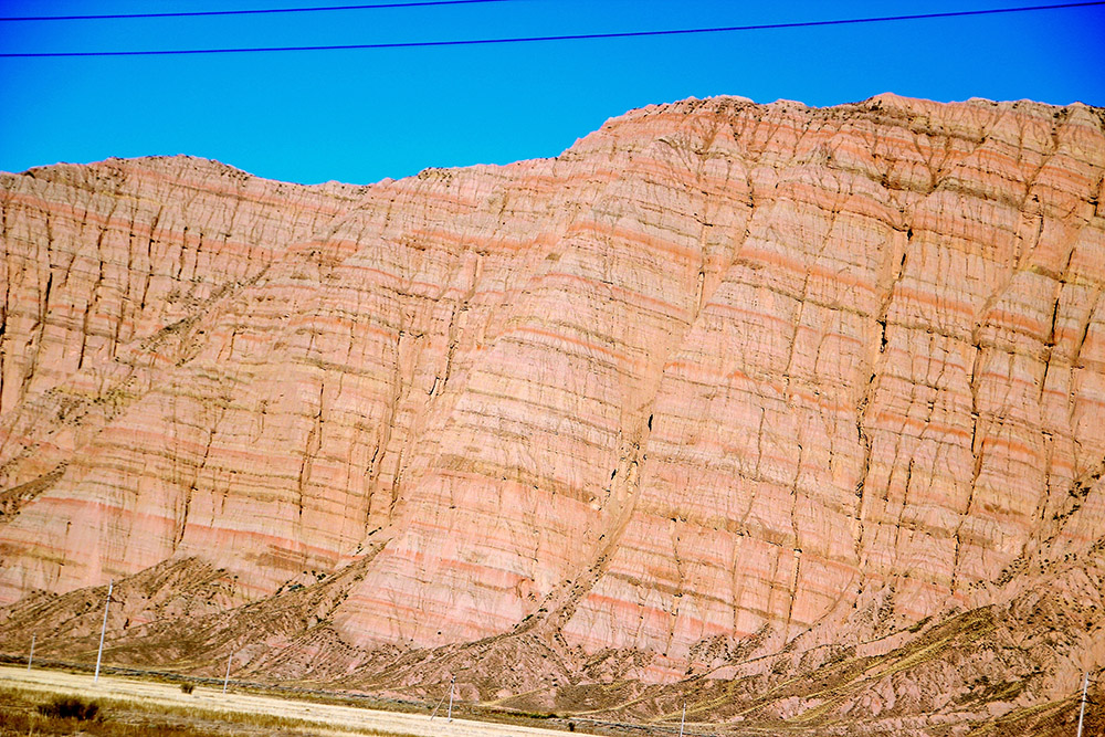
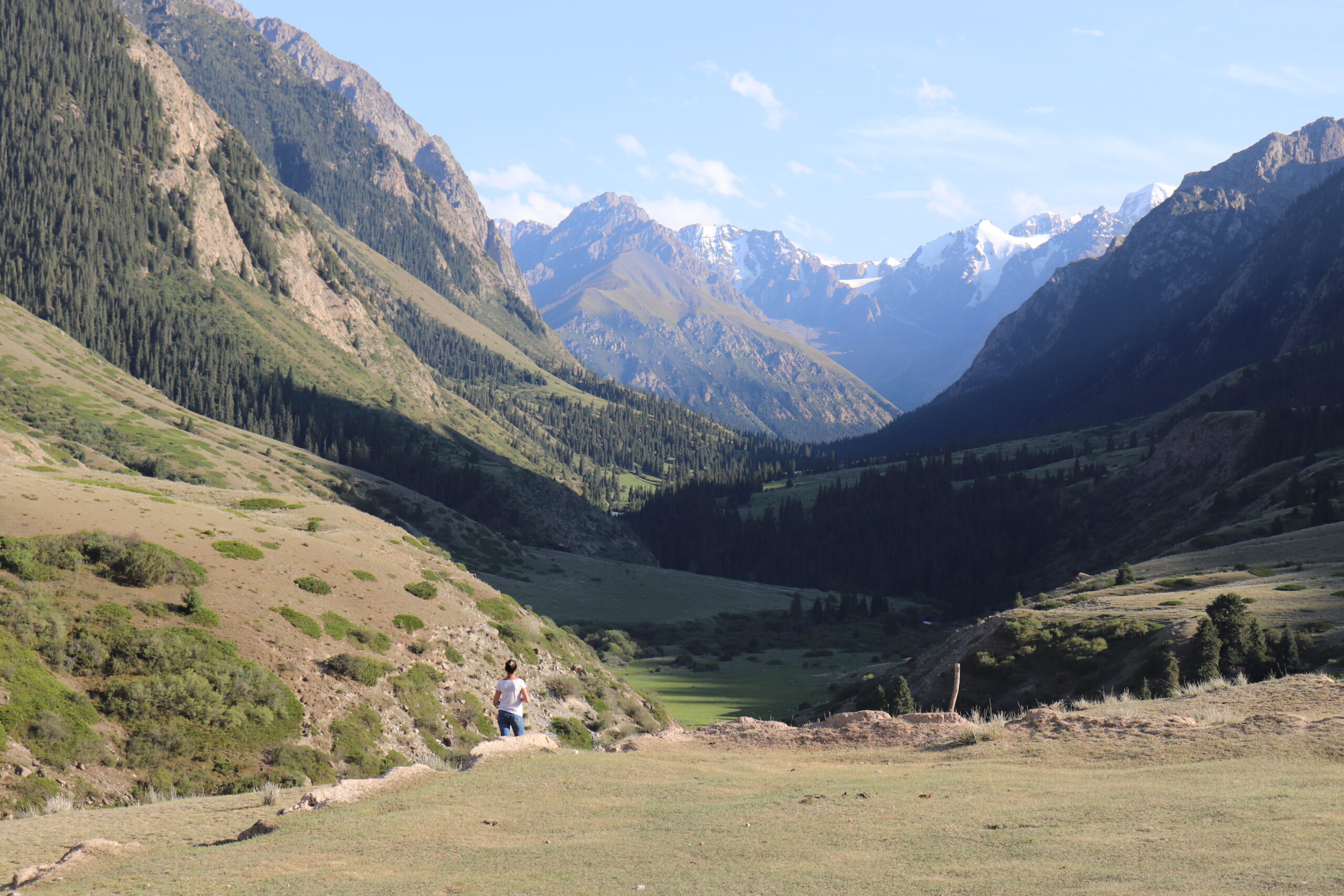
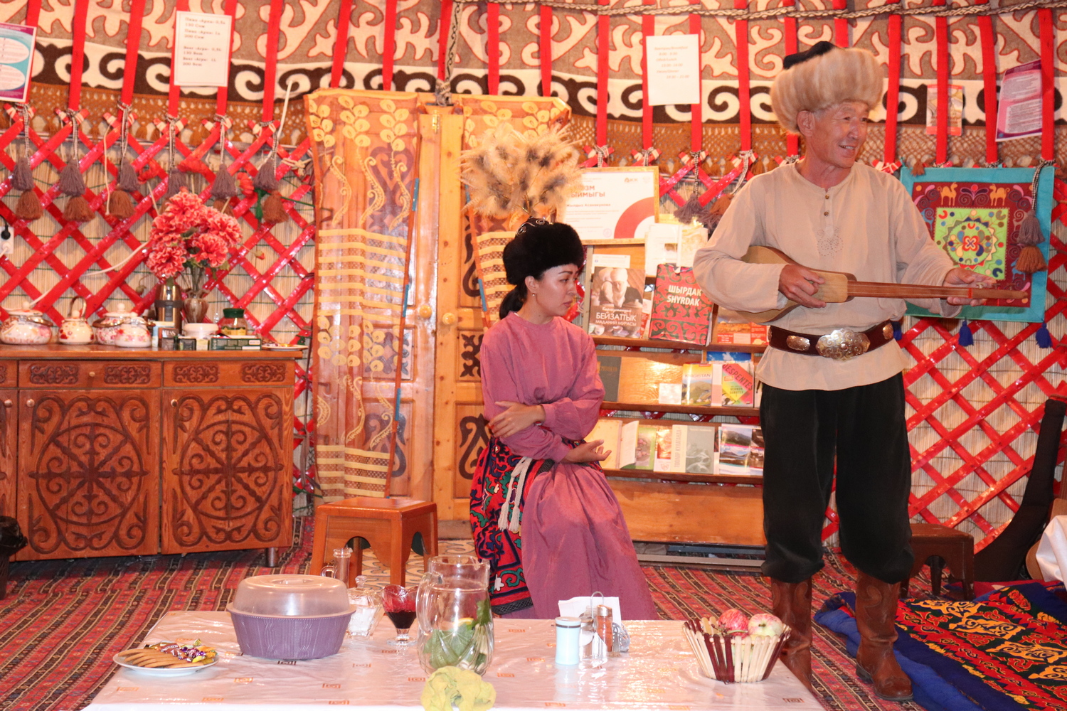
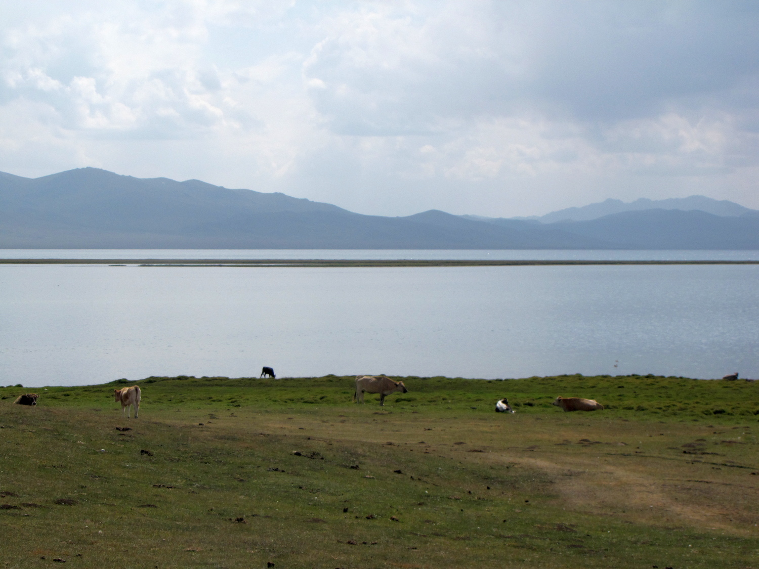
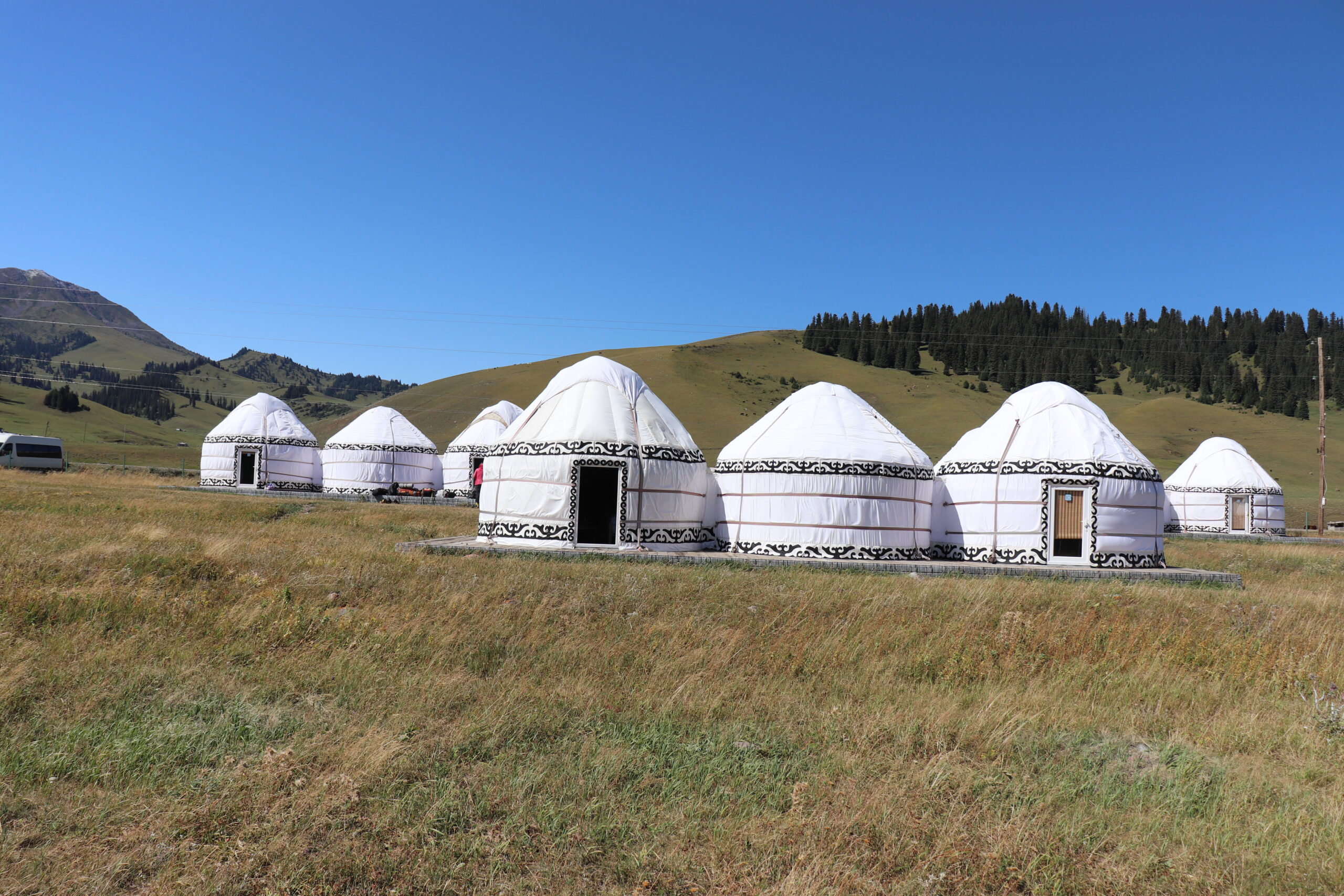
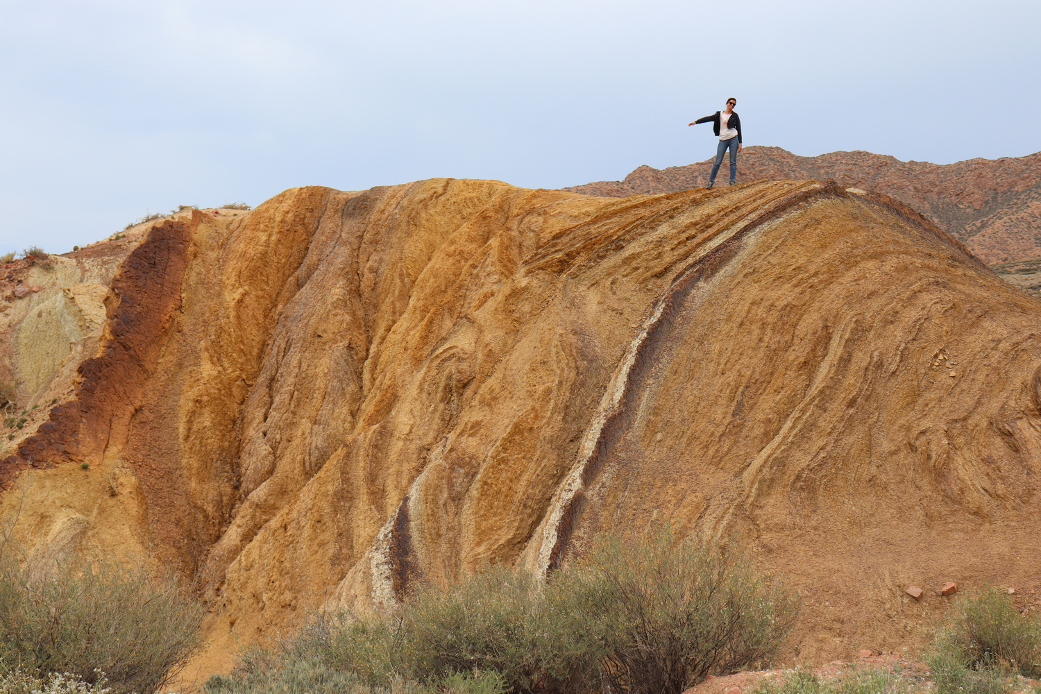
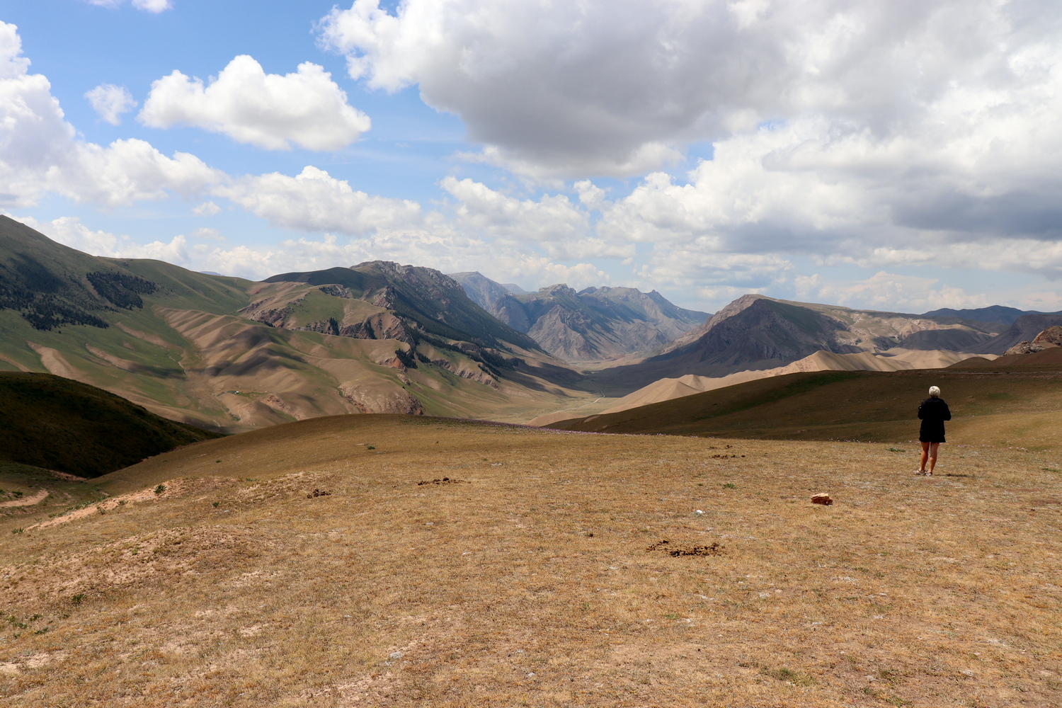
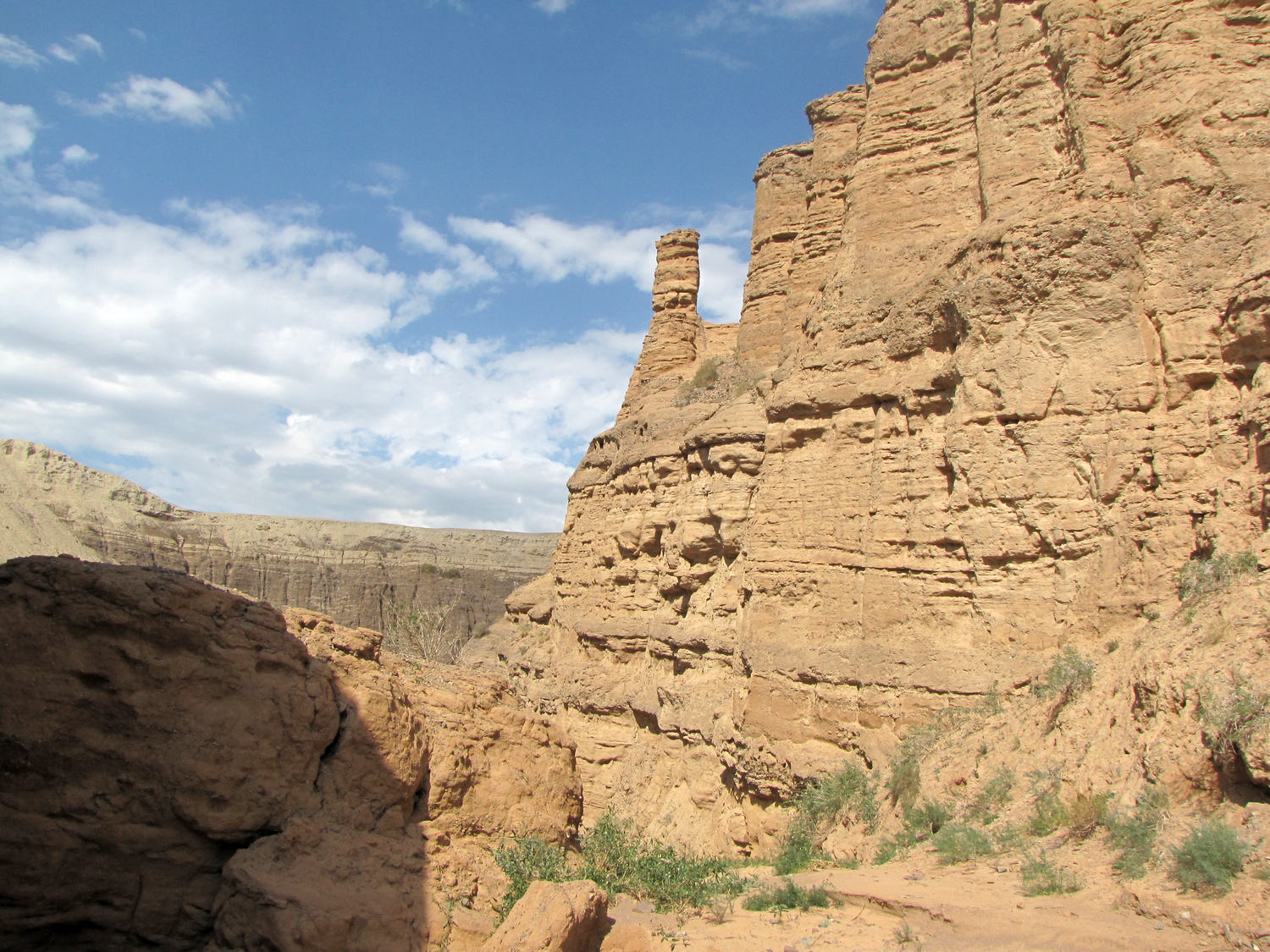
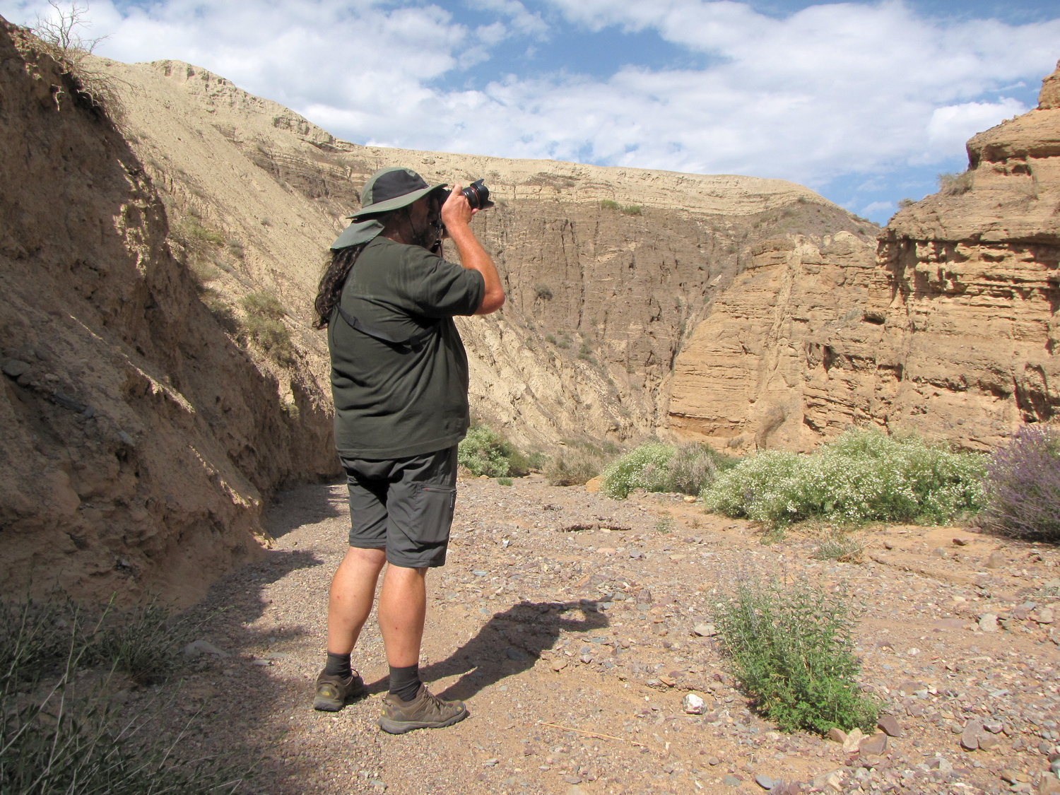
This multi-day geological program does not require deep knowledge in geological science. Our guides, in an accessible language, talk about the geological structure of the great Central Asian mountain systems of the Tian-Shan and Pamir. You will get acquainted with geolocations that reflect the tectonics of lithospheric plates. You will learn about the world’s only paleontological fossils found in the Tian-Shan Mountains. You will visit national parks, Madygen Geopark, geological heritage sites, ancient mines, quarries, caves, canyons, lakes and glaciers. During the trip, you will see stunning landscapes, cultural heritage sites, enjoy the magnificent scenery of wildlife and hear fascinating stories of people. You will meet wonderful hospitable people and nomadic culture. Your guides are excellent geologists with extensive professional experience who know the geology of Central Asia very well.
- The geological program covers the following topics:
– Tectonic evolution and structure of the earth’s crust of the Tian-Shan, Pamir and other areas of the Central Asian folded belt;
– Geodynamics and seismicity of the Tian-Shan;
– Geomorphology and Quaternary Geology of the Tian-Shan:
– Mineral deposits of Tian-Shan and Pamir;
– Glaciers and water resources,
– Geological risks
– Objects of geological heritage of international importance, etc.
Day 1. Arrival in Bishkek
Arrival in Bishkek. Hotel accommodation. Presentation of the program Briefing. Acquaintance with a guide – an expert in geology.
Presentation. Kyrgyzstan occupies the western part of the Tian-Shan. In the southwest, Kyrgyzstan covers part of the Northern Pamirs. The area of the country is 198.5 thousand km2, the population is over 6 million people. The absolute height of the territory of Kyrgyzstan is more than 500 m above sea level. The lowest elevation of the earth’s surface is about 450 m. More than half of the territory of Kyrgyzstan is located at altitudes from 1000 to 3000 m. The highest peaks reach more than 7000 m (Pobeda peak 7439 m, Lenin peak 7134 m, Khan Tengri – 6995 m). The relief of Kyrgyzstan is formed by mountain structures that form subparallel sublatitudinal mountain ranges and intermountain depressions. The ridges are composed of ancient Paleozoic and pre-Paleozoic rocks, which are strongly dislocated as a result of Caledonian (Northern Tian-Shan), Hercynian (Southern Tian-Shan), or Caledonian-Hercynian (Middle Tian-Shan) tectonic movements.
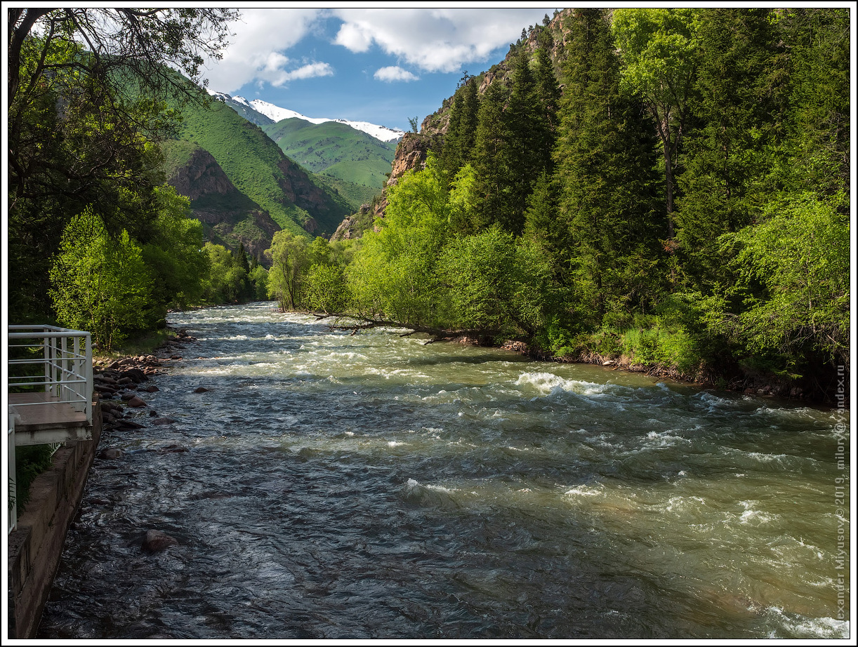
Day 2. Excursion to the Ala-Archa National Park - the foothill zone of the Kyrgyz Range
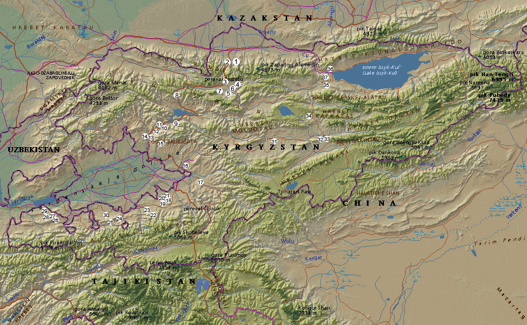
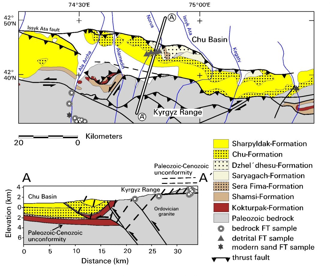
Tourists who arrived in Bishkek and saw the mountains think that they are of volcanic origin. However, it is not. After our tour, tourists begin to understand that the Tian-Shan mountains are of tectonic origin and have nothing to do with volcanoes. Geolocation 1. Tectonic zone of the junction of the Kyrgyz mountain range and the Chui valley. Modern active Issyk-Ata tectonic fault.
In the National Park Ala-Archa there is an interesting lecture about the Central Asian orogenic belt. It is one of the largest orogens on Earth. Its evolution is discussed in numerous debates. The Central Asian orogen has a long accretionary history of several hundred million years, starting from the late Mesoproterozoic and ending with the collision between Siberia, Tarim and Kazakhstan in the late Permian (P3)-early Triassic (T1). The orogen consists of several different segments, among which the Tian-Shan is one of the main belts and covers the vast territory of most of the countries of Central and East Asia.
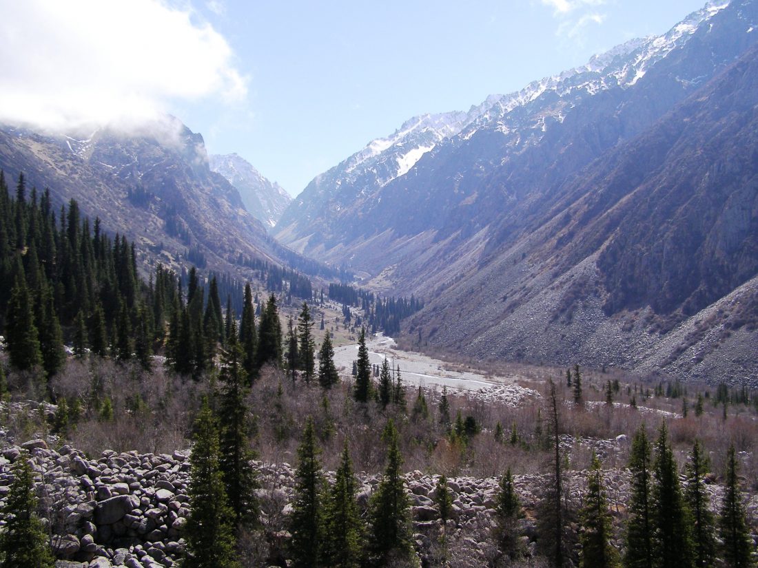
In Ala-Archa National Park, we will see an ancient alluvial cone, Geolocation 2 . Signs of catastrophic mudflows, let’s talk about high-mountain glacial lakes that threaten the Bishkek city. Return to Bishkek. Overnight at the hotel.
Day 3. Bishkek - Tuya-Ashuu pass - Suusamyr valley - Toktogul
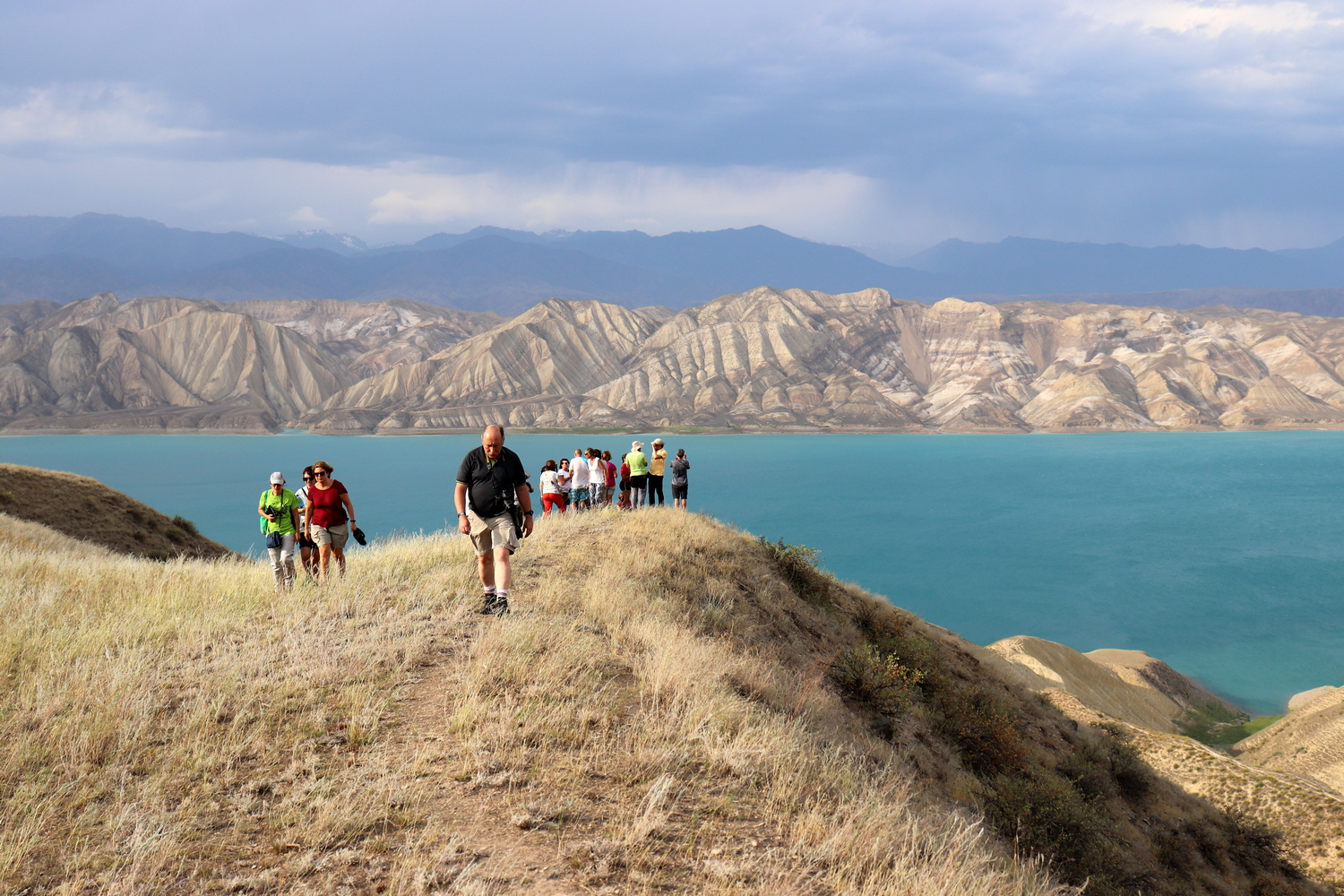
After breakfast, we will go on an exciting geo-trip. Along the way, we will make stops in order to visually see the geological and tectonic structures. System of active faults in the western part of the Chui valley (S village Sosnovka, 60 km southeast of Bishkek), Geolocation 3. Tuya-Ashu pass (3300 m). Alpine Suusamyr valley. Active faults of the Suusamyr depression (50 km from Bishkek) Geolocation 4. On the way we will stop at the Itagar gorge to a magnificent lake, which was formed as a result of a large collapse, Geolocation 5. Marble quarry in the picturesque Chychkan gorge, Geolocation 6. valley, which is now filled with the Toktogul reservoir. In Kyrgyzstan, it is called the “Kyrgyz Sea”. This is the largest artificial reservoir in Central Asia. Lecture on water resources of Kyrgyzstan and Tian-Shan. The history of the development of hydropower. Overnight at the hotel on the shore of the reservoir.
Day 4. Toktogul reservoir - Kara-Kul - Mailuu-Suu
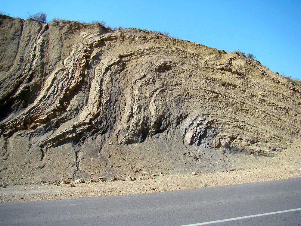
In the morning excursions in the surroundings and a story about the Ketmen-Tubinskaya valley. At present, the valley is filled with the Toktogul reservoir. The reservoir provides water to a cascade of hydroelectric power plants on the Naryn River. The height of the highest dam is more than 200 m. On the shore of the Toktogul reservoir, a visual lecture on the geological structure of the region, Geolocation 7. Further on the Kok-Bel pass, we will see the characteristic signs of the regional Talas-Fergana fault, Geolocation 8. Near the Kara-Kul city, metamorphic geological complexes. Geological characteristics of intrusive massifs. Characterization of the geological boundaries between sedimentary and intrusive rocks. Gradually we cross the region of the Caledonides and enter the region of the Hercynides, that is, from the Northern Tian-Shan and the Southern Tian-Shan. You will see how quickly the terrain changes. Igneous formations are replaced by sedimentary limestone rocks. Our mountain road lies along the Naryn River, the largest river in the Tien Shan. On the way stop and excursion to the metamorphic massifs. Further metamorphic and sedimentary formations. Structural geological analysis. Geolocation 9. Various occurrences of geological layers, tectonic blocks. Folded structures, flexures, rock layers. Tectonic, stratigraphic unconformities. Examples of tectonic unconformities formed between Paleogene (P) and Quaternary (Q) mountain deposits. Anticlines, synclines, monoclines and other forms of folds. Arrival in the Mailuu-Suu city. Overnight at the hotel.
Day 5. Mailuu-Suu - Tash-Kumyr - Arslanbob
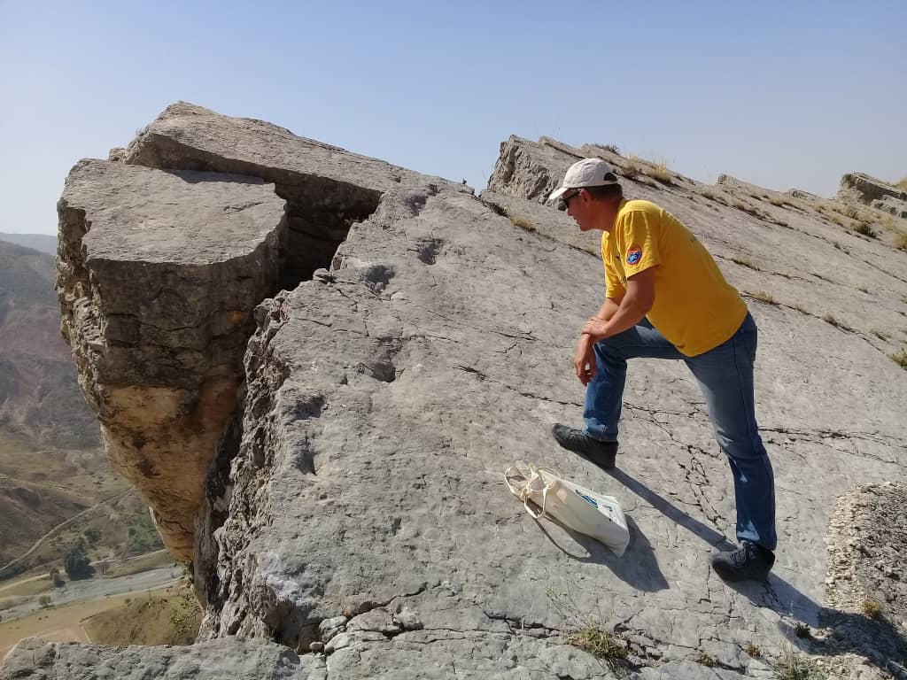
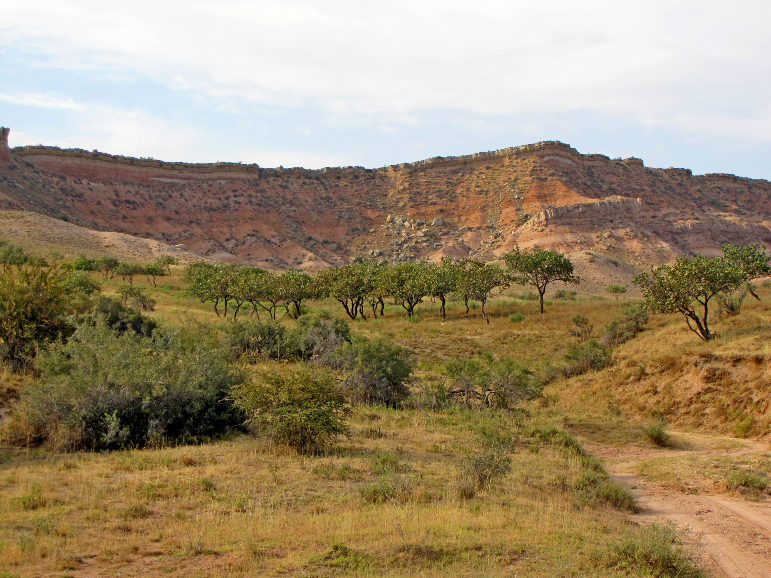
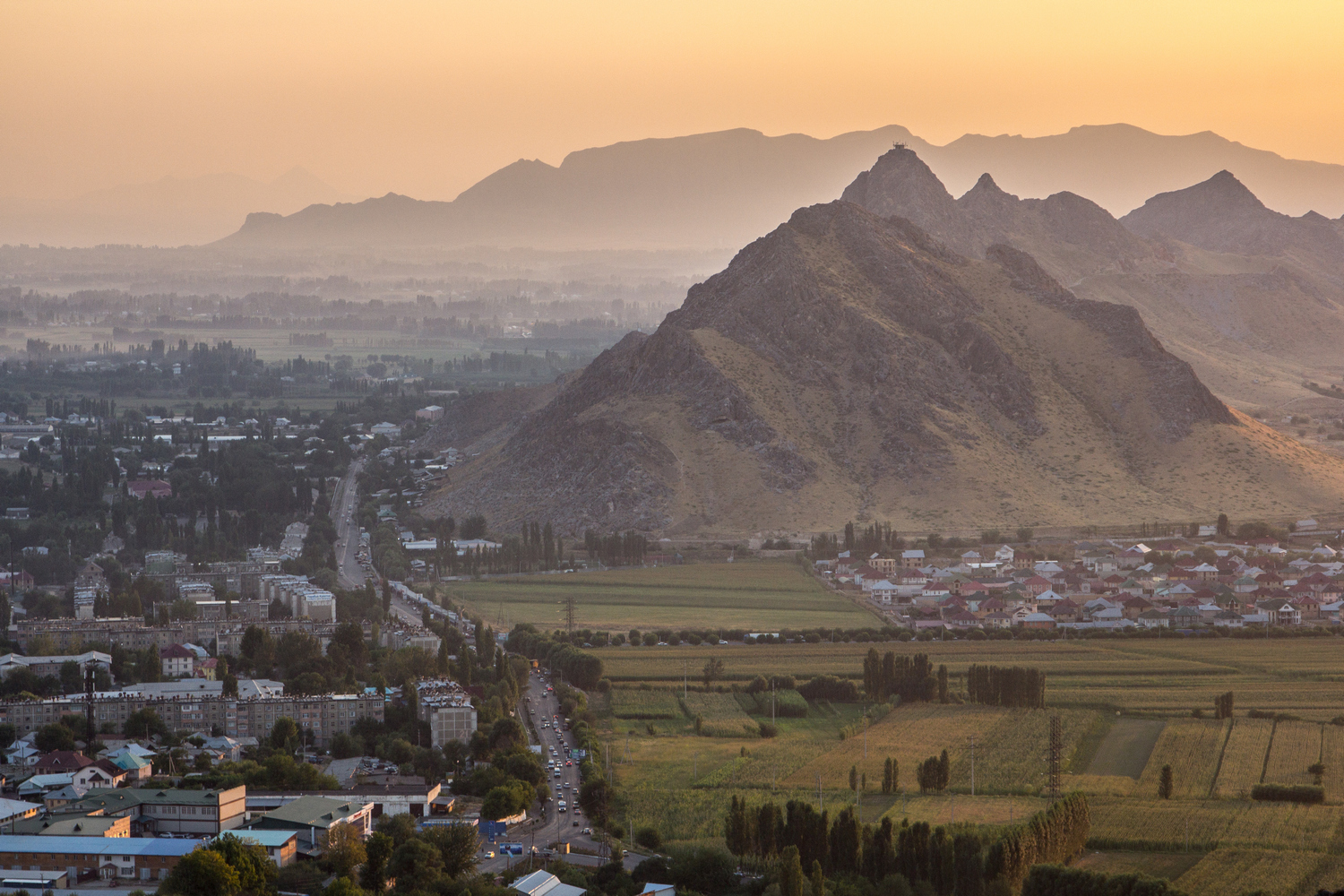
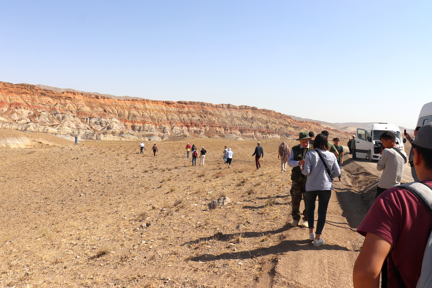
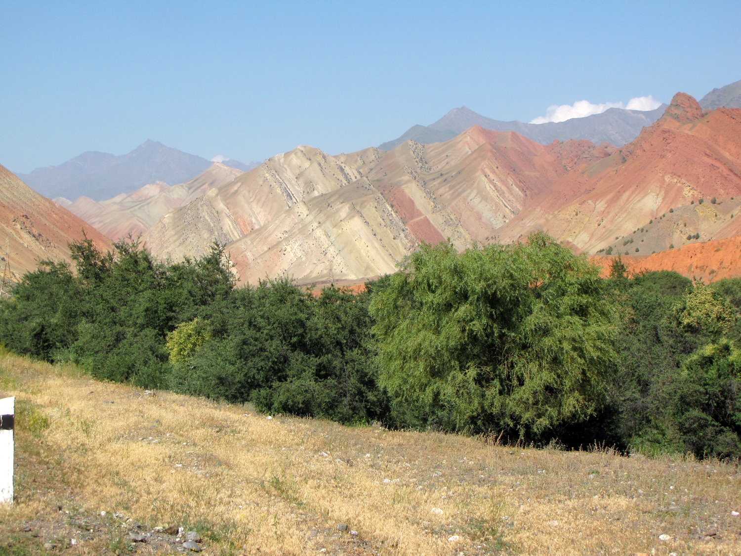
In the morning, excursion around the city, which was built by German prisoners of war after the Second World War. Today it is a small industrial city, where mineral raw materials were developed in Soviet times. In the vicinity of the city there is a plateau of dinosaurs, where we will see traces of the most ancient reptiles, Geolocation 10. The question of what kind of dinosaurs these traces belong to remains controversial. According to some scientists, it belongs to the Sauropod. Walk around the city. In Soviet times, Mailuu-Suu was classified so that it was not on the maps. History of the first radium plant. A local expert in history and archeology will give a short lecture on the historical events of the region, which are also associated with mining in the secret Mailuu-Suu city during the Soviet Union. After lunch drive to Tash-Kumyr and Arslanbob. On the way, the shroud of Kyzyl-Dzhar, translated from the Kyrgyz “Red Land”. Here we will see vast variegated badlands composed of Mesozoic rock layers. Enjoy the amazingly beautiful landscape and landforms. Ephemeral vegetation, and endemic flora and fauna. In 1957, Soviet paleontologists found here a 20 m long skeleton of the first Sauropod in Central Asia. Obviously, the Mailuu-Suu footprints belonged to a Sauropod, Geolocation 11. Arrival in Arslanbob. In the evening, dinner in the national Uzbek style. Overnight at the guest house.
Day 6. Arslanbob - Jalal-Abad - Uzgen - Osh
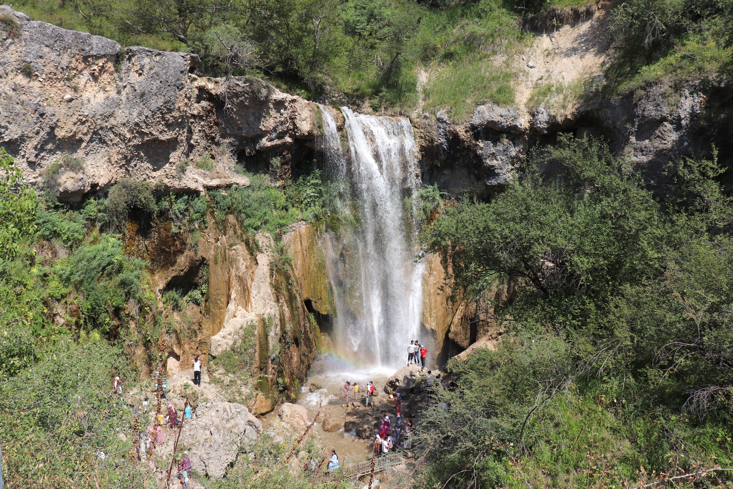
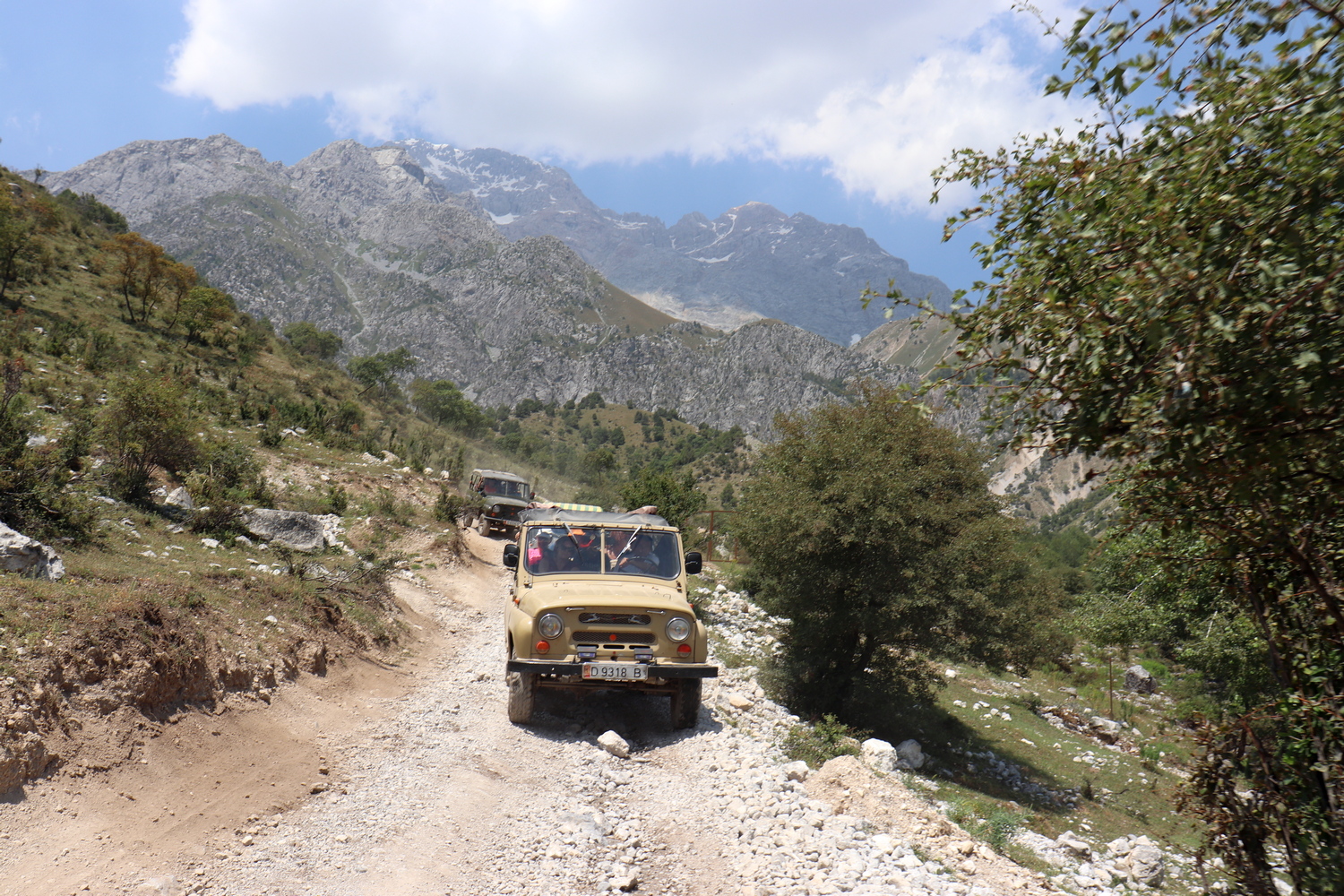
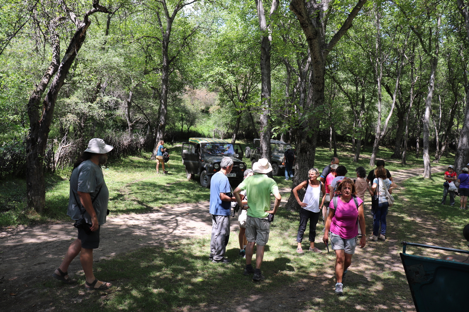
Excursion to Arslanbob – the only walnut-fruit forests in the world, occupying a huge area. This is the only place on earth where relict walnut forests grow on such a huge area of 600,000 hectares. Excursion on Soviet retro cars to waterfalls and relic forest. After lunch, a route to the Jalal-Abad city and further to the oldest resort in Kyrgyzstan with hydrothermal and mineral springs. Tour of the resort. Brief lecture on the thermal and mineral healing springs of southern Kyrgyzstan, Geolocation 12
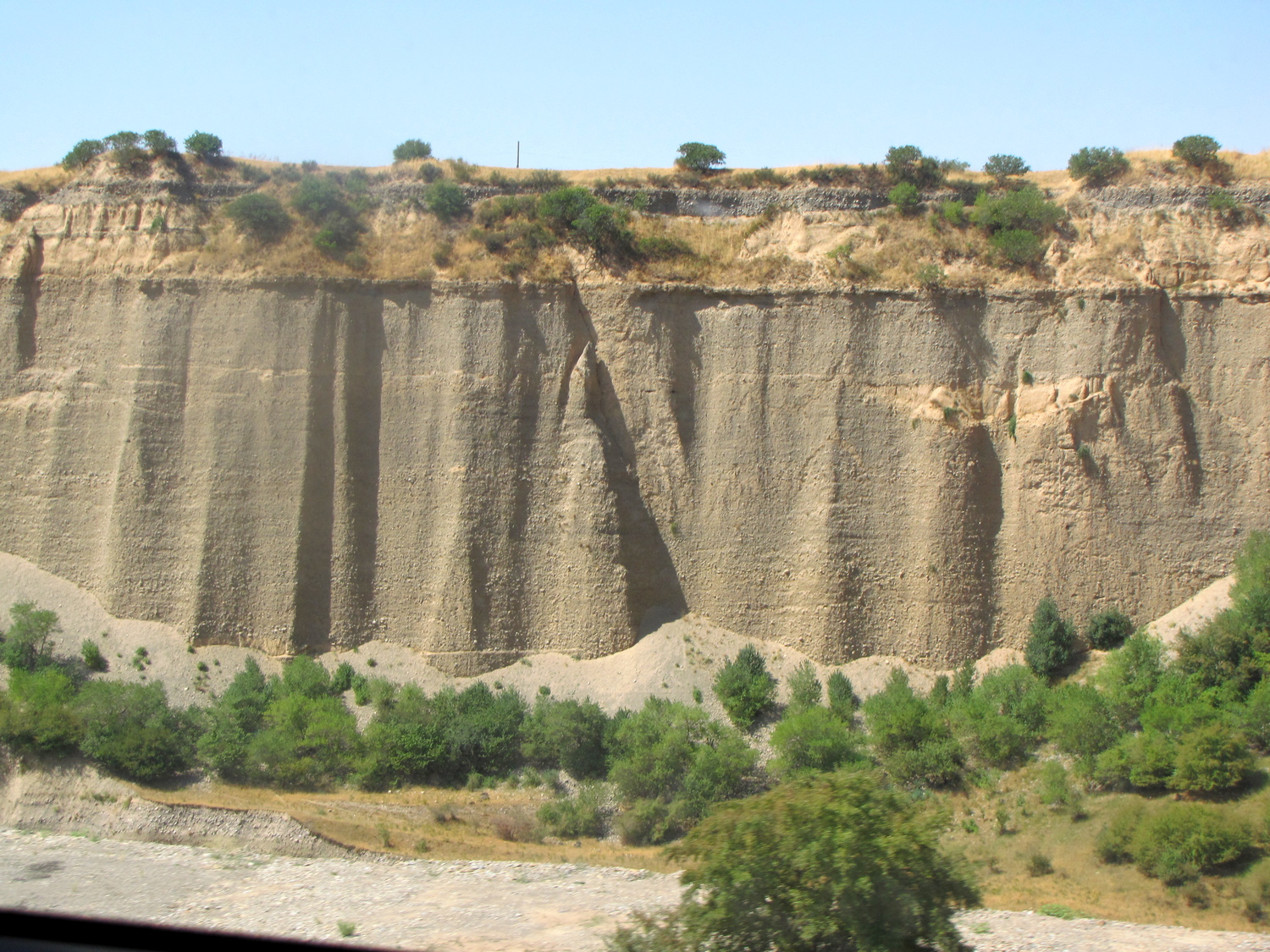
Further to the Uzgen city. Visiting the architectural and historical complex of the ancient capital of the Karakhanids of the 9th-12th centuries. On the banks of the Kara-Darya River, a lecture on exogenous-geological processes and phenomena widely developed in the south-west of Kyrgyzstan: landslides, mudflows, bank erosion, groundwater flooding, soil subsidence, Geolocation 13.
Arrival in the Osh city. Dinner at ethno restaurant. Hotel accommodation.
Day 7. Osh and surroundings
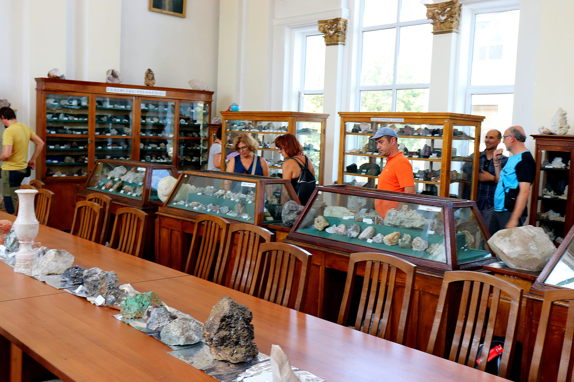
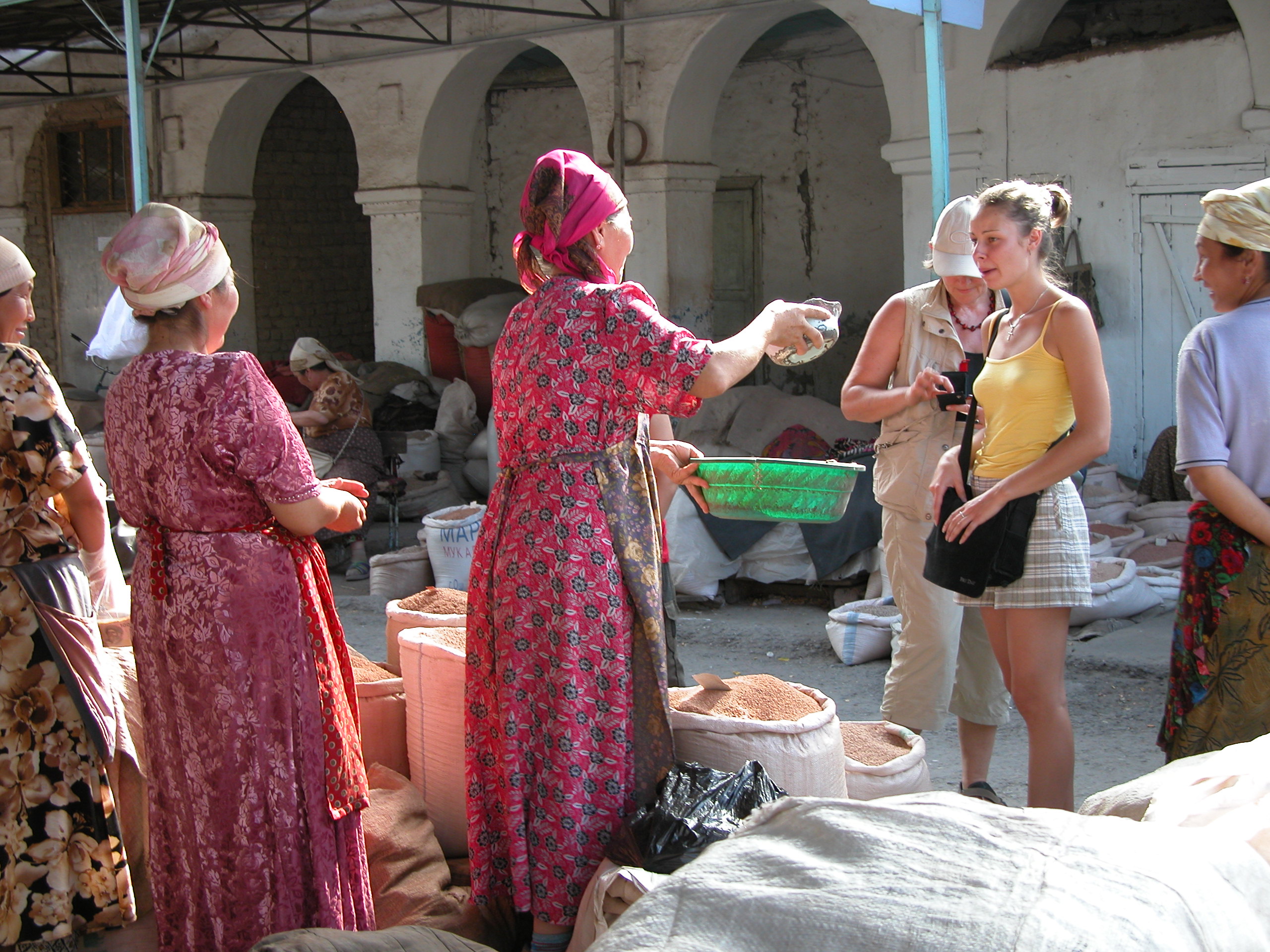
Osh is an important trading city in the Ferghana Valley on the Great Silk Road. City Tour. Visit to Mount Suleiman-Too – a UNESCO World Heritage Site, Geolocation 14. Cultural heritage sites and attractions. Visit to the mineralogical museum in the geological department. Meeting with geologists. Lecture-seminar on the geology of the Pamirs and the southwestern Tian-Shan. Dinner at ethno restaurant. Overnight at the hotel.
Day 8. Osh - Tuya-Muyun - Kadamjay
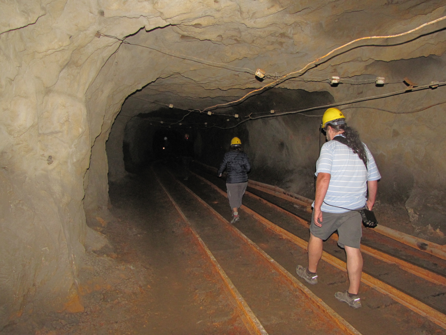
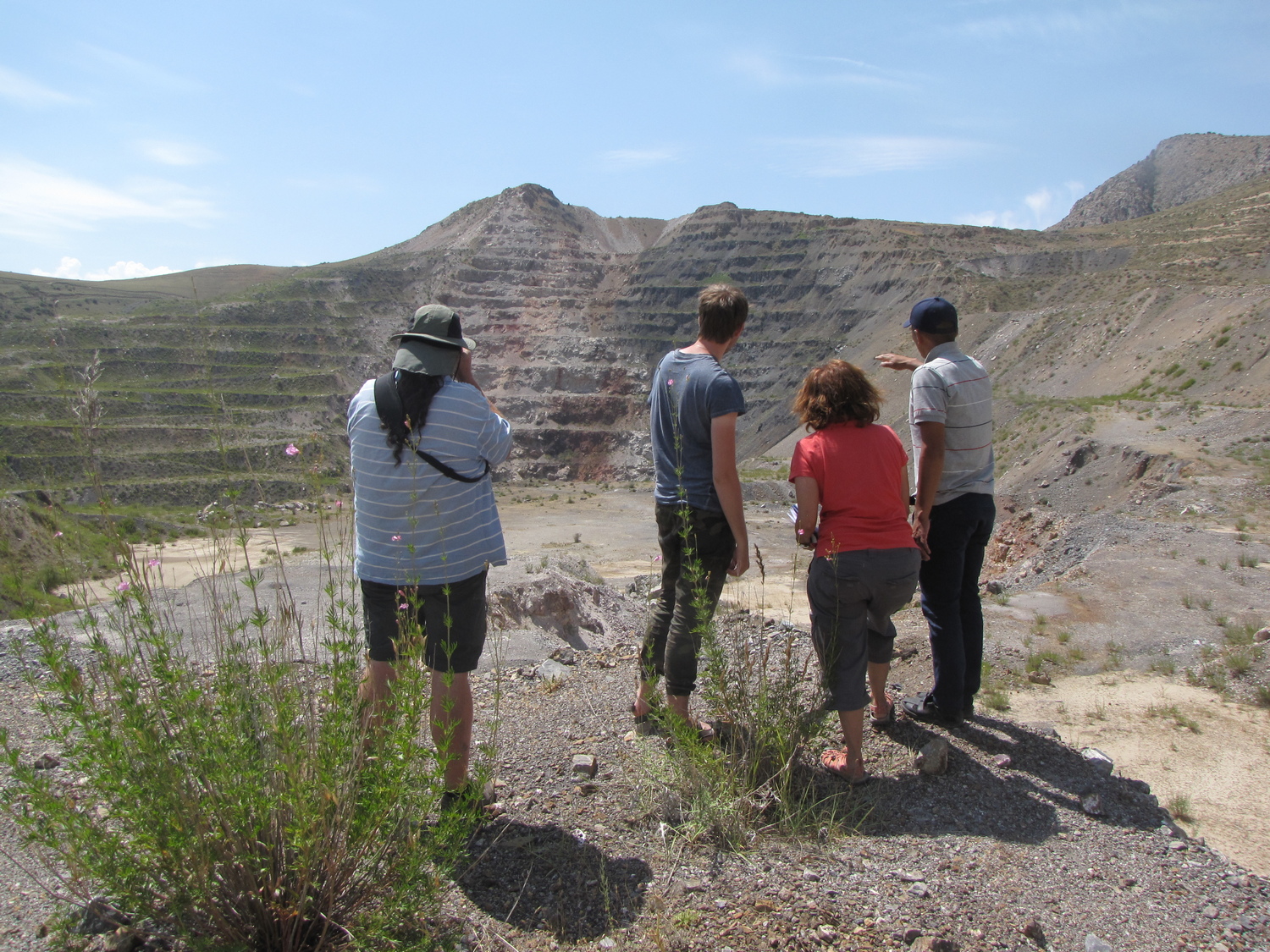
After breakfast, we go to the famous karst region “Osh Hills”, which are paleokarst remnants composed of Devonian limestone, Geolocation 15. Caves and numerous grottoes are developed in the mountain remnants. On the way, sightseeing of the gypsum-selenite deposit. Geolocation 16. Further route of the expedition to the famous karst region with the famous name Tuya-Muyun. Karst caves of hydrothermomineral genesis are developed in the area. In Tuya-Muyun excursion to the plateau to the cave-mine “Fersman”. This is the first Soviet mine where minerals were developed to create the first atomic bomb in the Soviet Union, Geolocation 17. The cave is extreme for caving lovers. The depth of the cave is 240 m. The genesis of the cave is hydrothermokarst. Hot solutions deposited here a number of different minerals. Ore containing various mineral compounds was processed at the radium plant in Mailuu-Suu, where our previous trip was not accidental. Excursions to the cave “Bolshaya Baritovaya”, discovered by academician E. Fersman, Geolocation 18. The cave is known for the fact that E. Fersman discovered here the rarest and largest deposit of barite. The cave is easily accessible to tourists. From Tuya-Muyun the path lies to the west along the depressions of the fortieth parallel. On the way we will visit the Khoja-Gair canyon. The power and beauty of the limestone canyon is impressive. In the small town of Khaidarkan we will visit a mine where mercury is mined. Excursion to the metallurgical factory and quarry. On the way stop and study the geological structures. Excursion to the Tegermach thrust. Geolocation 19. The Tegermach Thrust is a contact of Silurian (S) metamorphic rocks that overlie Devonian (D) limestones. After Khaidarkan we will return to Kadamjay. Hotel accommodation.
Day 9. Kadamjai - Batken (Madygen Geopark)
Today we will visit Madygen Geopark. The route to the geopark lies along the Batken rocky desert, along the South Fergana hydrothermomineral belt.
In Batken we will visit the historical museum and visitor center of the geopark. After lunch, an excursion to the exotic ethno Gaz village. Near the village there is an object of international importance – the stratigraphic section “Gaz”, Geolocation 20. The geological section is a Geological Heritage of International Importance. Section and global boundary stratotype point (GSSPs) between the Bashkirian and Moscow stages, Southern Tian-Shan, Kyrgyzstan. Walk through the village of Gaz, where you will feel the atmosphere of local color and ethnography. Next, an excursion to the Muz-Bulak mini-reserve and to the cult spring Chynyr-Bulak, Geolocation 21. Here you will see the beauty of the foothills of the Turkestan Range. Return to Batken. Dinner. Overnight at the hotel.
Day 10. Trip to Madygen
Madygen is a small village where local shepherds live. For geologists, Madygen is a stratotype area with unique landscapes, and it is also a Triassic geological formation with the only paleontological finds in the world. Madygen is a geological treasury of World significance. Excursion to Madygen starts from the Samarkandek village. In Samarkandek we will visit a family workshop where local women make carpets from wool and felt, Geolocation 22
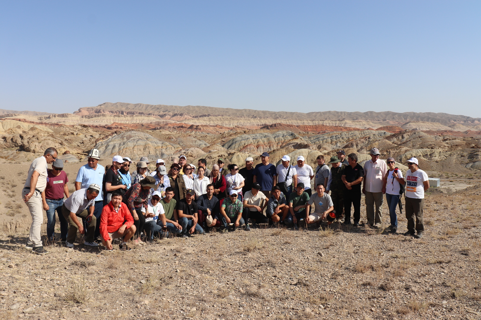
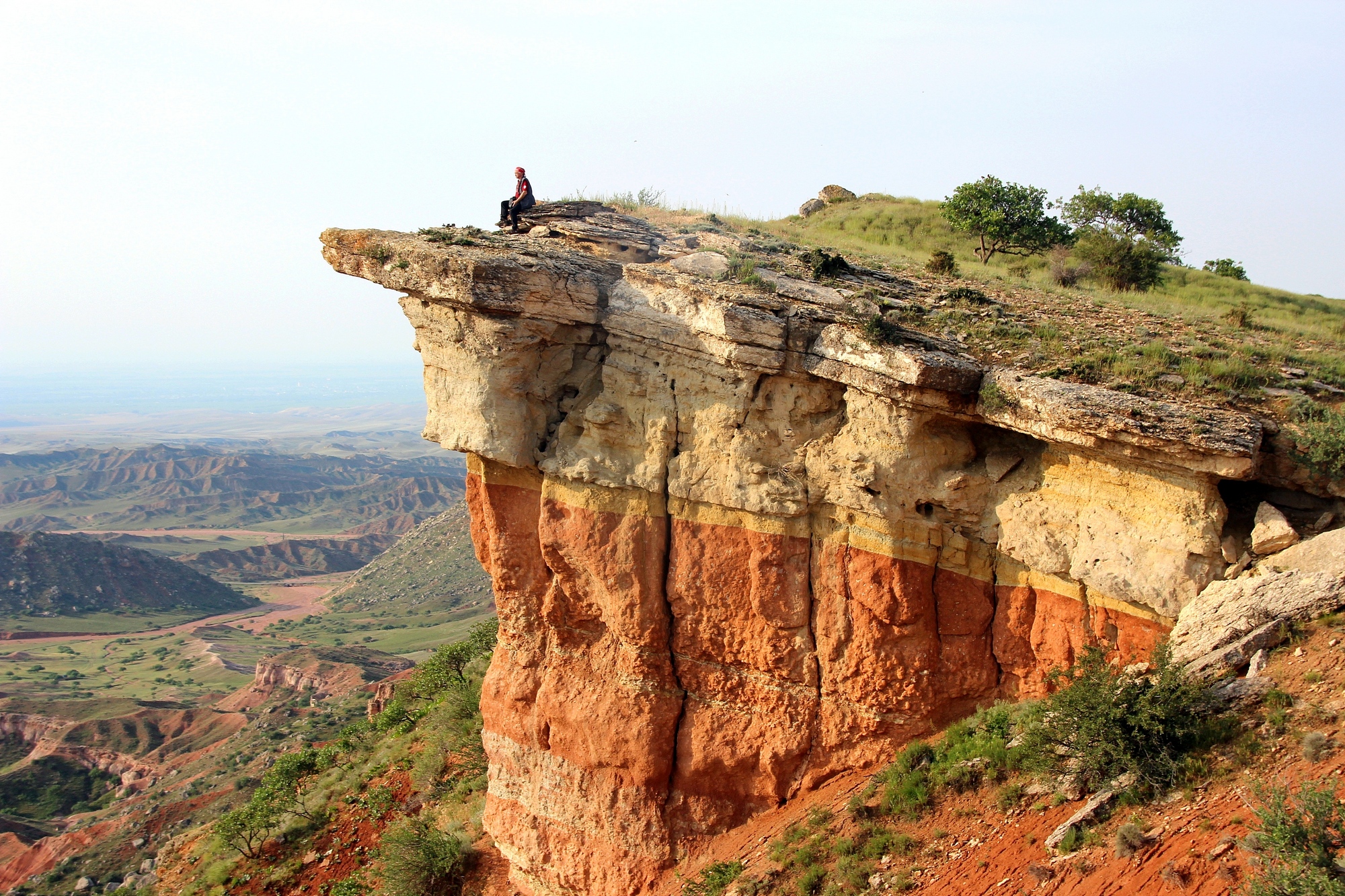
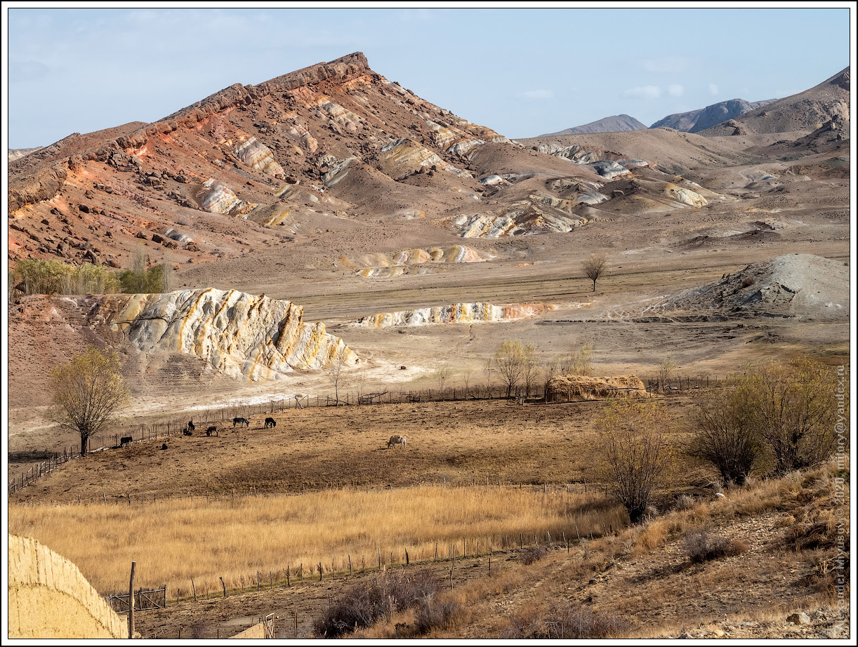
The entire route passes through unique aesthetic landscapes. The Madygen mountains are composed of Mesozoic (Mz) variegated formations of the Jurassic and Cretaceous age (J-K). Visiting paleontological, Geolocations 23 – 25. On the way, stop and study the medieval metallurgical yard (V-VI), Geolocation 26. Brief lecture on the history of mining of silver and lead ores in Central Asia. We will visit the Mollusk Valley, the Dinosaur Valley, the Aeolian Valley and other sights of Madygen. In Madygen village we will stop at the field camp. Overnight in tents. The field camp will be equipped with a toilet and shower. A chef will work in our field kitchen.
Day 11. Madygen - Batken
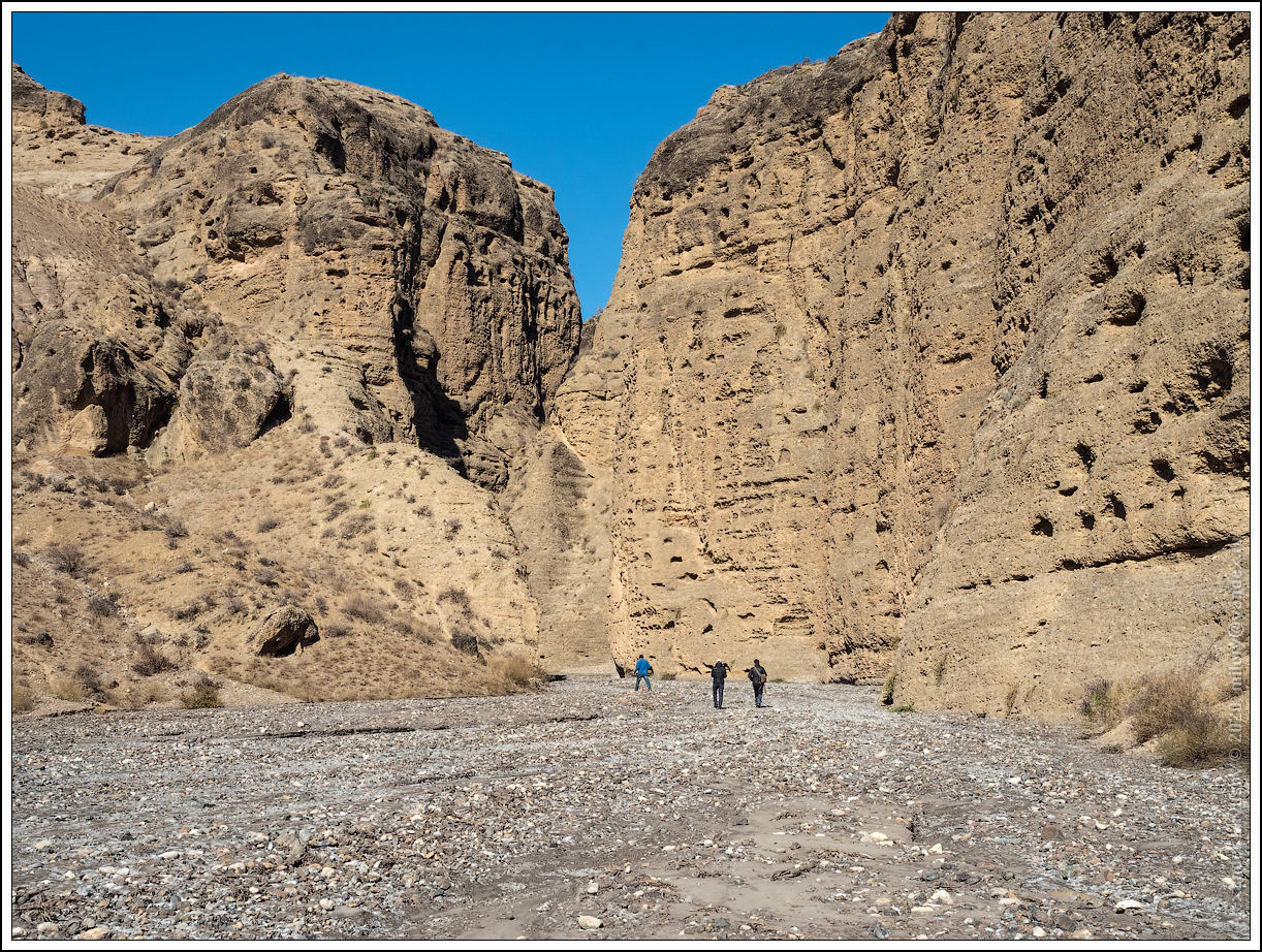
In the morning excursion to Kalcha-Bashi – magnificent panoramas of Madygen. Excursion to the Madygen canyon, Geolocation 27. Lecture and reconstruction of the geological history of the Tian-Shan and the Pamirs. After lunch drive to the stone castles of Sary-Kungei. Visiting the canyon in the conglomerates. Return to Batken. Overnight at the hotel.
Day 12. Batken - Osh
In the morning we head back to Osh. On the way back, we have almost no stops, so you can observe the landscapes from the window of our car. On the way, an excursion to an abandoned lead quarry in the Sovetskoye village, Geolocation 28. Currently, a lake has formed in the quarry. Arrival in Osh. Free program. Overnight at the hotel.
Day 13. Osh - Alai Valley - Pamir
The path to the Pamirs starts from the Osh city. The Pamir Highway is the main road through which the inhabitants of the Pamirs are provided with food, gasoline and other goods.
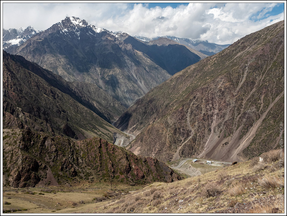
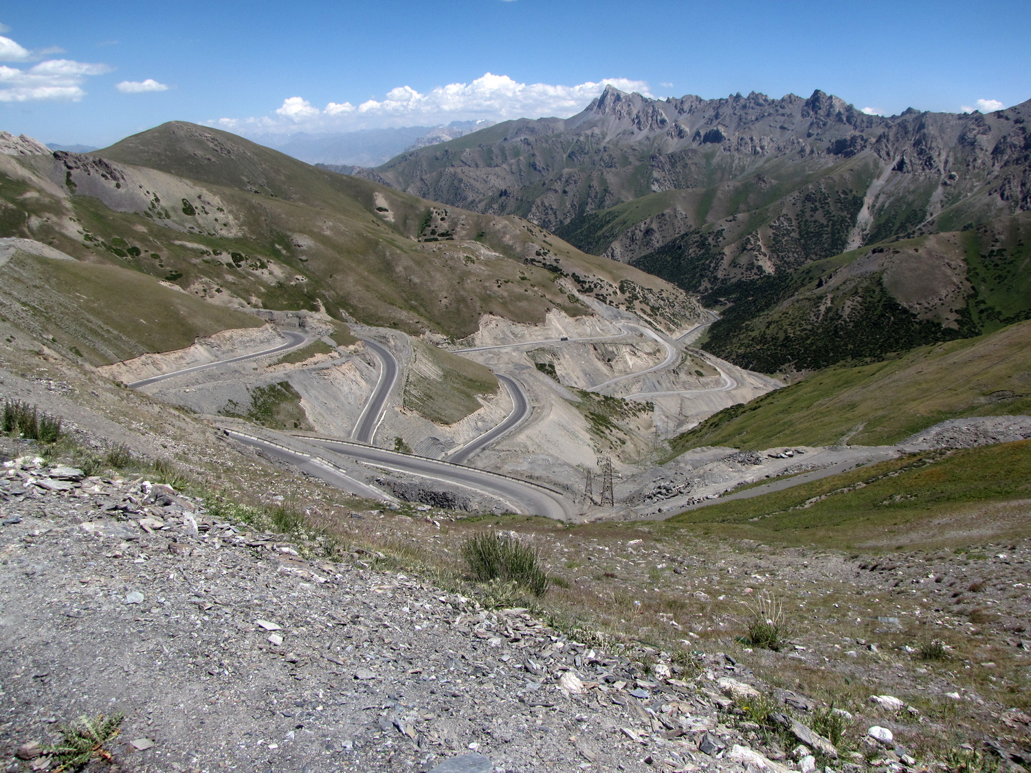
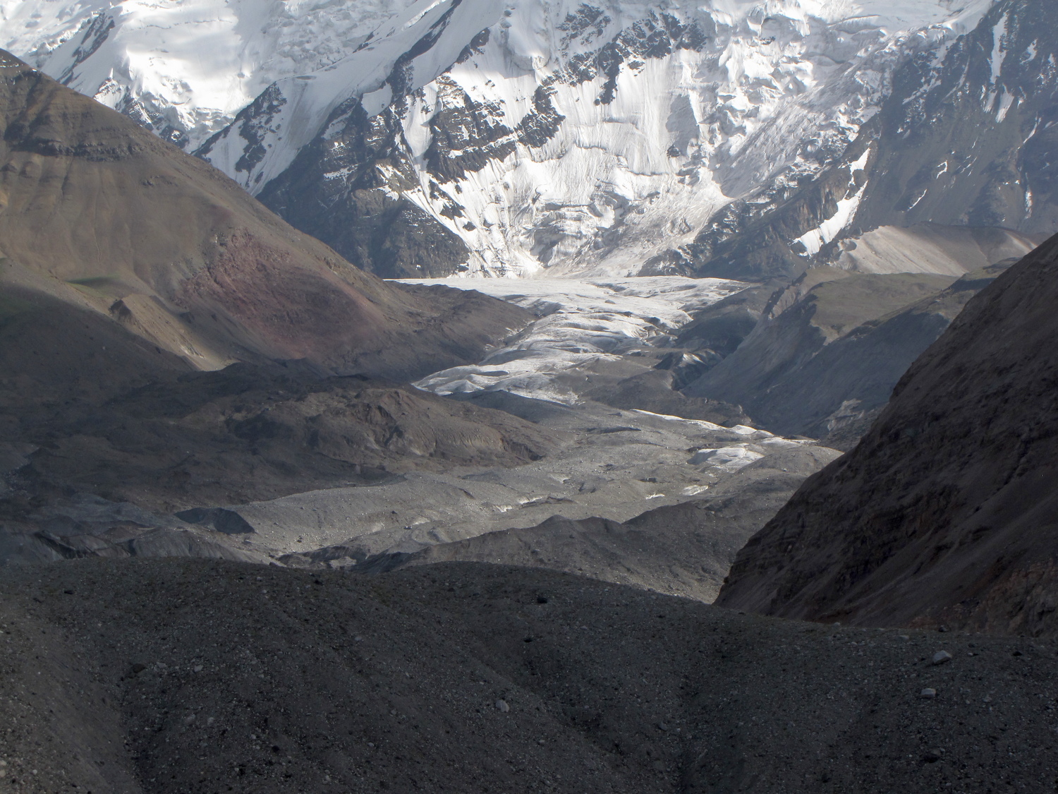
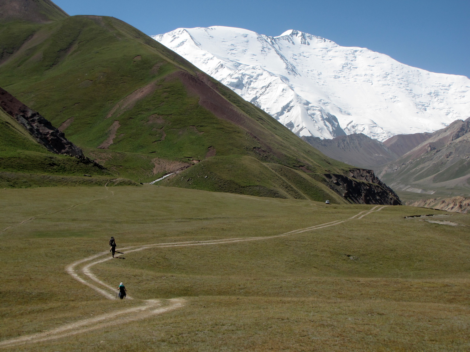
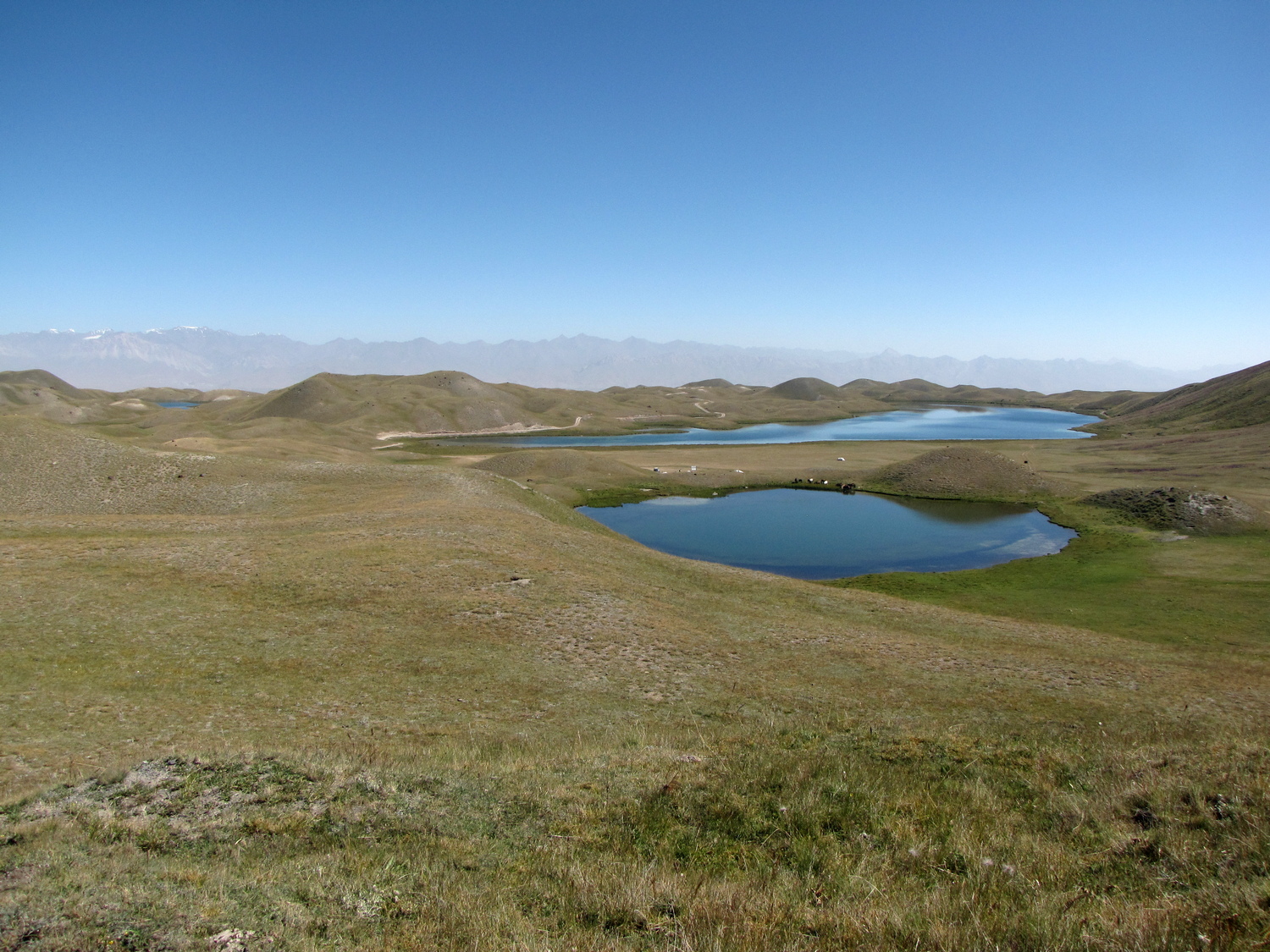
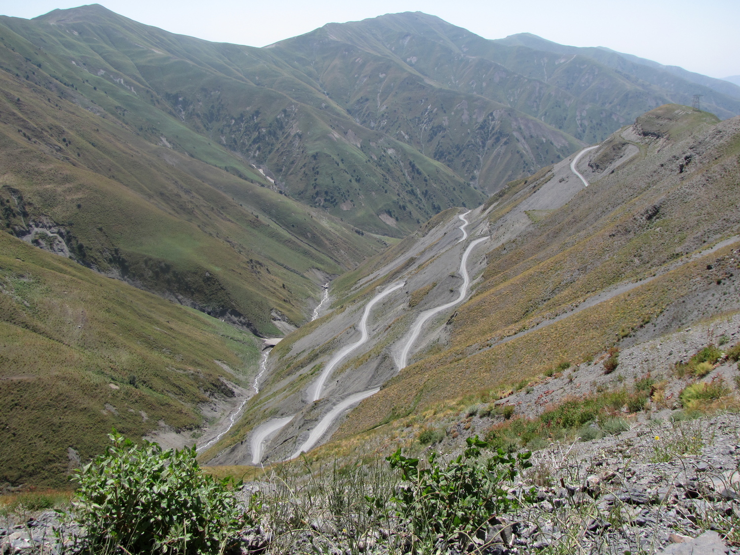
You will see the magnificent nature of the Alai Range. From the passes, dizzying panoramas of outstanding landscapes, Geolocation 29. The road to the Pamirs is very beautiful. Along the way, you will see how, against the background of gray Paleozoic ridges, Mesozoic motley-colored sections gracefully lie. Our today’s goal is to reach the Achik-Tash valley, where the international base camp of climbers is located. From Achik-Tash, the path to Lenin Peak (7134 m) begins. After the Taldyk pass, we will descend to Sary-Tash. This settlement is the last before the Erkishtam pass, which leads to China. The Alai Valley is a geographical and tectonic border between the Tian-Shan and the Pamirs. We will make a stop against the backdrop of Lenin Peak and talk about accretion and the origin of the Tien Shan and the Pamirs, Geolocation 30. The base camp of climbers is located at an altitude of 3600 m. Here we will see an ancient moraine left over from the last major glaciation. About 40 small lakes are hidden between the green hills. Overnight in tents.
Day 14. Tour of Achik-Tash - Osh
In the morning we will trek to the beautiful lake Tulpar-Kul, Geolocation 31. The hike will take about 5 hours. Near the lake you will meet local nomads, look into a Kyrgyz yurt, try local bread. Lecture about the tectonic structure of the Alai valley near the lake. Just imagine, in one day you got from the Tian-Shan to the Pamirs. After lunch departure to Osh. The scenery on the way back is completely different from yesterday. In the evening we will arrive in Osh. Overnight at the hotel.
Day 15. Osh - Jalal-Abad - Kazarman
The way from Osh to Kazarman will take the whole day. After Jalal-Abad we will climb the pass of the Ferghana Range (3000 m). The Fergana ridge is the only ridge that is located submeridionally in relation to the rest of the Tian-Shan mountain ranges. The Talas-Fergana regional deep tectonic fault, Geolocation 32, runs along the Fergana ridge. On the southwestern slopes of the ridge, we will find ourselves in the thickets of a relict walnut forest. From the pass we will descend to the valley of the Naryn River and find ourselves in the Middle Tian-Shan, which is fundamentally different from the Southern Tian-Shan and the Northern Tian-Shan in its tectonic structure and geological history. Geographers call this area the Inner Tian-Shan. Along the way, an ethnographic excursion and acquaintance with the locals. Overnight in a guest house in Kazarman.
Day 16. Kazarman - Naryn
The way to Naryn takes the whole day. The route runs through the Kara-Koo pass, from where there is a magnificent panorama of the badlands, which form tectonic terraces. In some places, the Quaternary (Q) accumulative cover has been destroyed by erosion. In the process of geological history, the terraces have turned into an aesthetic landscape and various landforms. Geological forms reflect the results of the latest tectonic movements, Geolocations 33. In the Naryn city, hotel accommodation. In the evening lecture on the topic: Caledonides and Hercynides of the Middle Tian-Shan; Tectonic evolution of the Tian-Shan; Natural hazards in the vicinity of the Naryn city, a system for monitoring dangerous geological processes. In Naryn, hotel accommodation.
Day 17. Naryn - Son-Kul - yurt ethno camping on the shore of Lake Issyk-Kul
In the morning excursion to the panorama of the Naryn city. Demonstration of active tectonic faults in the Naryn area. Further excursion to dangerous mudflow valleys. Assessment of mudflow zone, Geolocations 34. The Naryn city is located in the zone of impact of dangerous mudflows. About 70 mudflow-forming valleys threaten the infrastructure of the city and the population, Geolocations 35. Then the route to Son-Kul Lake through the Karatal-Dzhapryksky Reserve. Stop at Geolocation 36 – “Nikolaev Lines” – the tectonic border between the Northern and Middle Tian-Shan. The “Nikolaev Line” is an important tectonic structure of the Tian-Shan.
Lecture on tectonics. The Tian-Shan is subdivided into three tectonic regions, which are called the Northern, Middle and Southern Tian- Shan. The northern and median Tian-Shan are separated from each other by the Terskey-Karatau tectonic fault, which was named by geologist V. A. Nikolaev, “The most important structural line of the Tian-Shan” or “Nikolaev Line” (it has now been found out that it represents the structure of the Saka paleo – ocean basin.
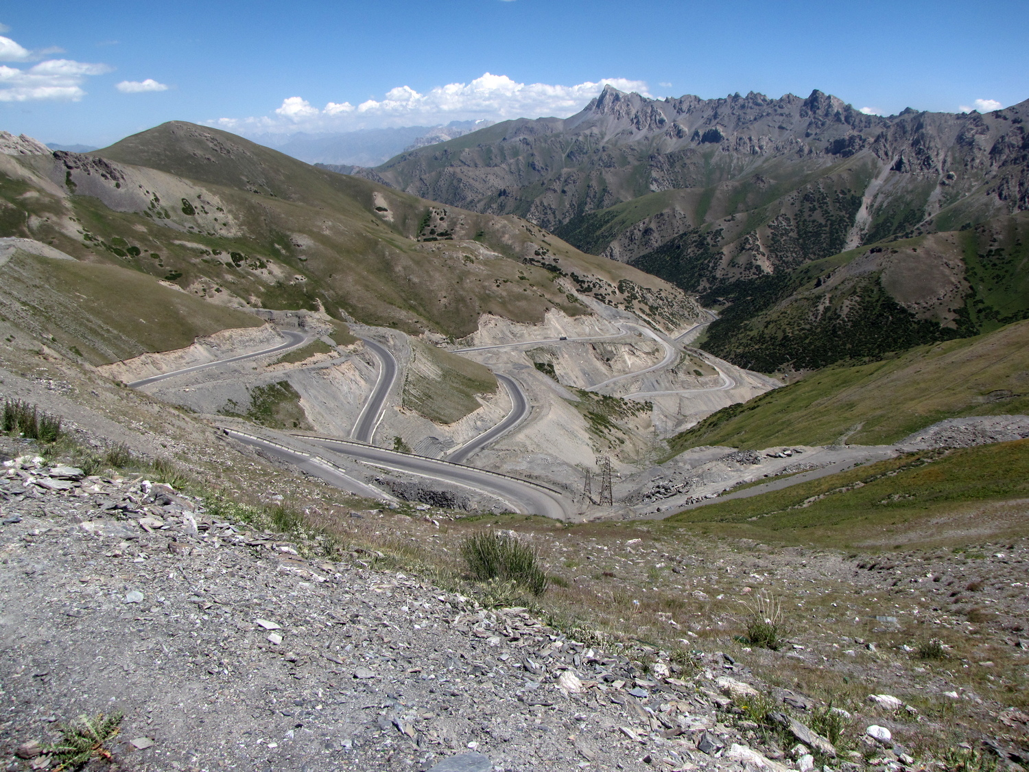
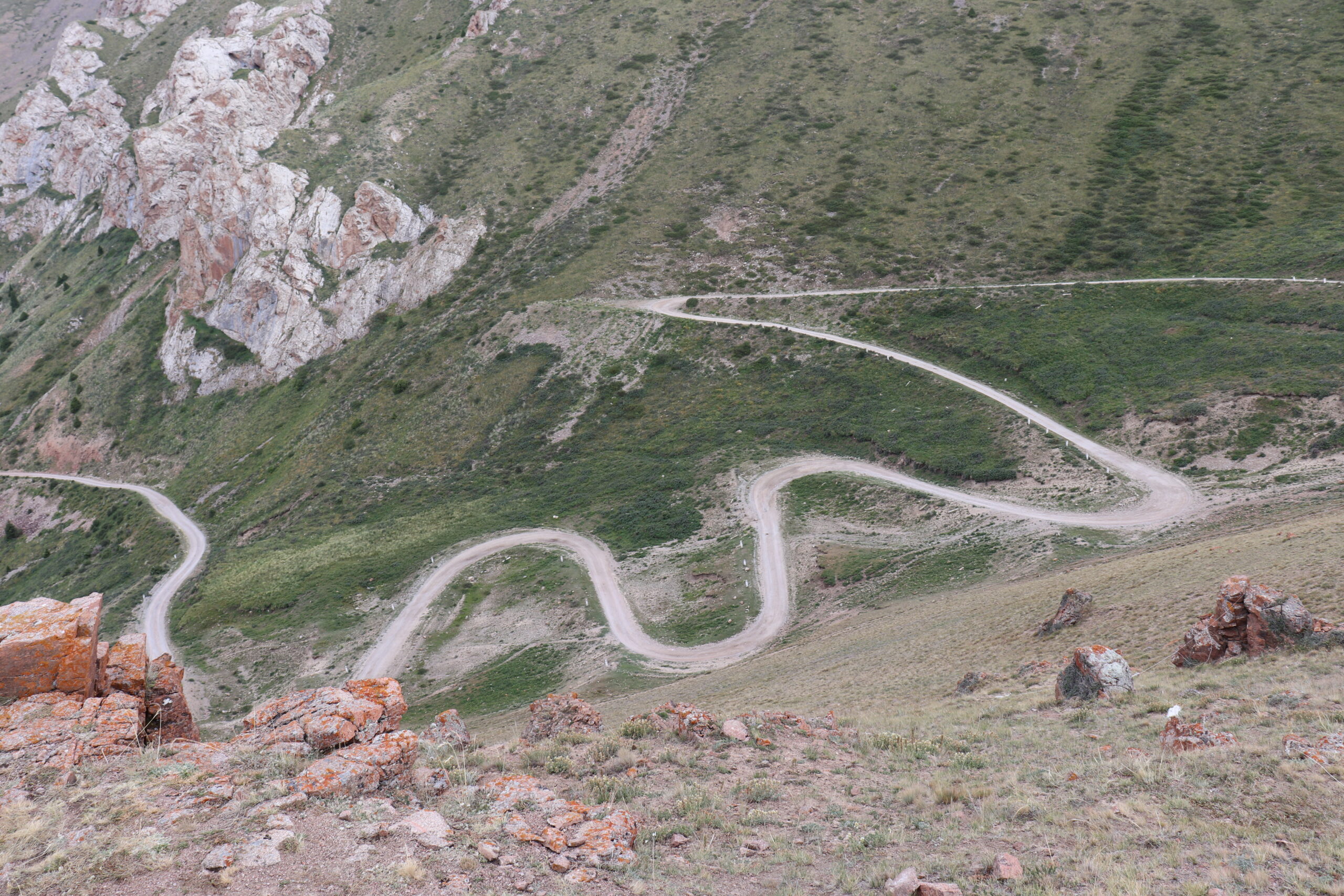
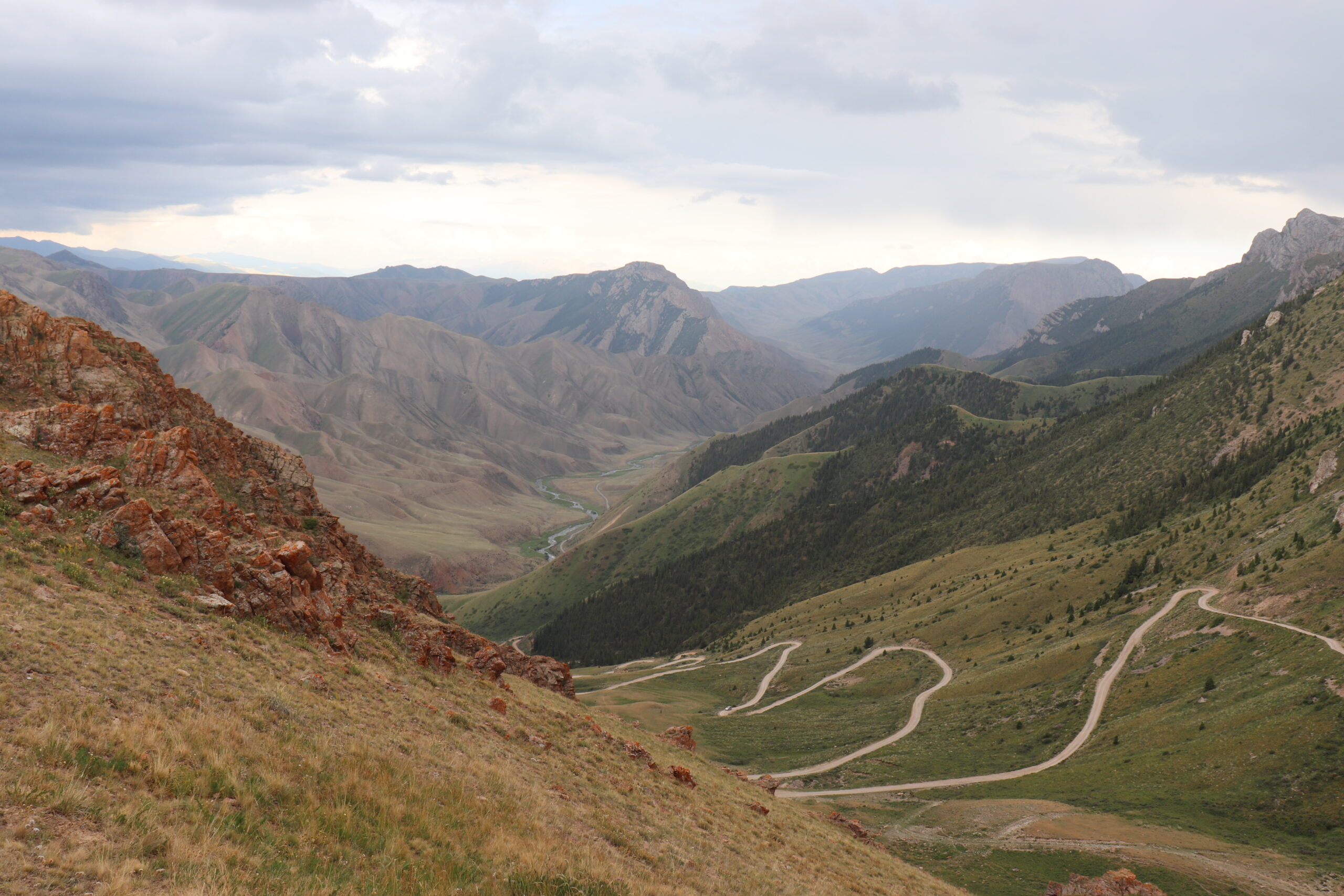
The Inner Tian- Shan and the Southern Tian-Shan are separated by a regional disjunctive, which is called the Central Tian-Shan (the structure of the Turkestan paleoocean basin). The Talas–Fergana offset, located diagonally to the common strike of the structures, subdivides the Middle and Southern Tian-Shan into two sectors: eastern and western. Further route along dizzying serpentines to Son-Kul Lake, Geolocation 37. The lake is located at an altitude of more than 3500 m. Along the way, magnificent panoramas of landscapes, Geolocation 38. Then the route to the Kochkor village, then to the Cholpon-Ata city. On the way we will see the picturesque Ak-Olong desert. In the desert, we explore the contacts of igneous and metamorphic rocks. In geological formations, Permian syenite crystals were formed, Geolocation 39. Lunch in Kochkor. After lunch, visit the family workshop for the production of felt products. Visit to the museum-shop of felt products, Geolocation 40. Arrival at the yurt camp (southern coast of Issyk-Kul). Accommodation in yurts.
Day 18. Yurt camping - Skazka valley - Karakol - Cholpon-Ata
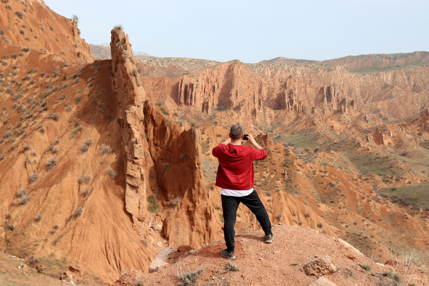
Today we will make a trip around Issyk-Kul Lake. On the way, an excursion to the famous Skazka valley, composed of rocks of the Meso-Cenozoic formations, Geolocation 41. Then we will visit the Barskoon gorge with its famous waterfalls, Geolocation 42. Lunch in the city of Karakol. In Karakol we will visit an ancient wooden mosque – a UNESCO cultural heritage site, Geolocation 43. Further, our path lies along the northern shore of the lake to the Cholpon-Ata city. Overnight at the hotel on the lake.
Day 19. Cholpon-Ata - Bishkek
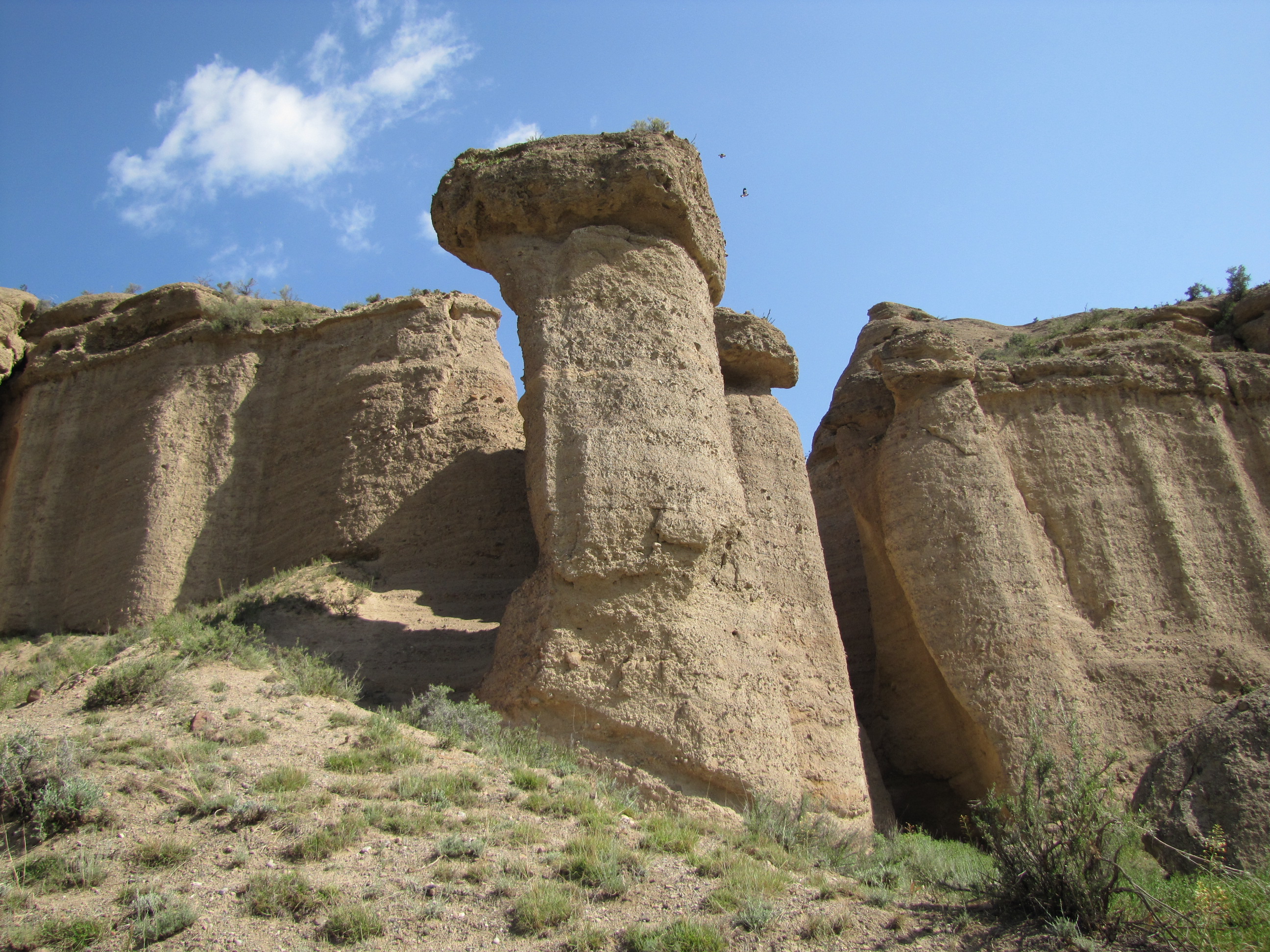
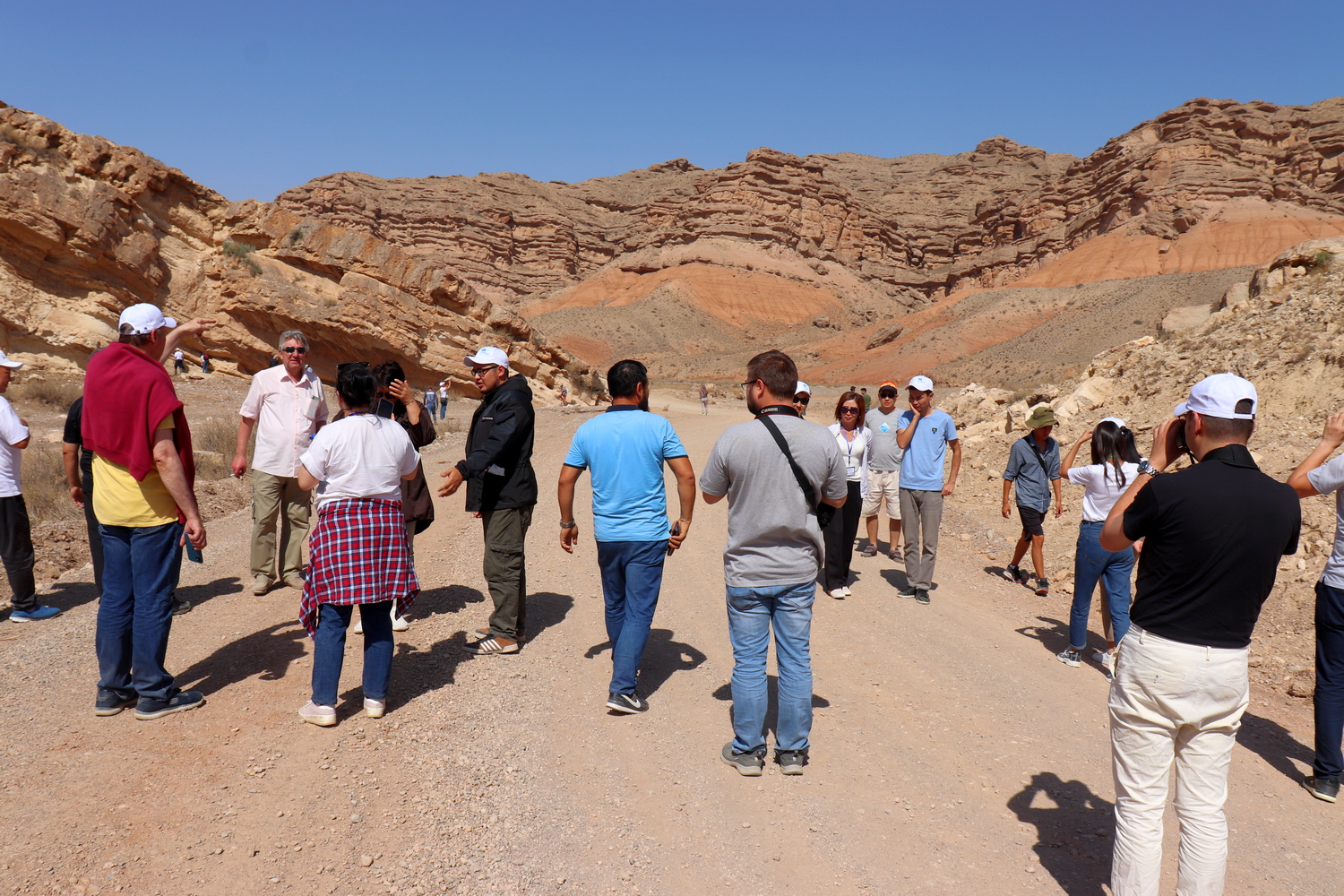
In the morning, an excursion to the rock petroglyphs – a UNESCO cultural heritage site, Geolocation 44. Further, on the way, an excursion to the Kok-Moinok canyons, which were formed in conglomerate formations of Geolocation 45. In Bishkek, hotel accommodation.
Day 20. Transfer Bishkek - Airport
