Traditional International Summer School on geological mapping using drones in the Madygen Geopark, August 17 – 27, 2023
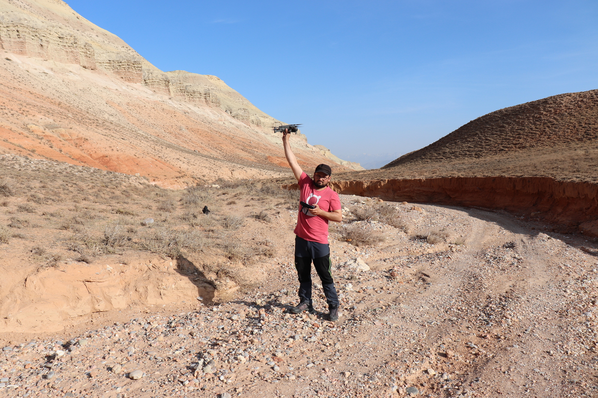
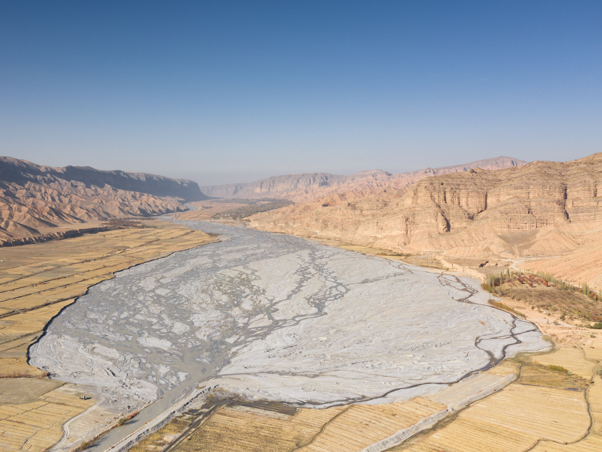
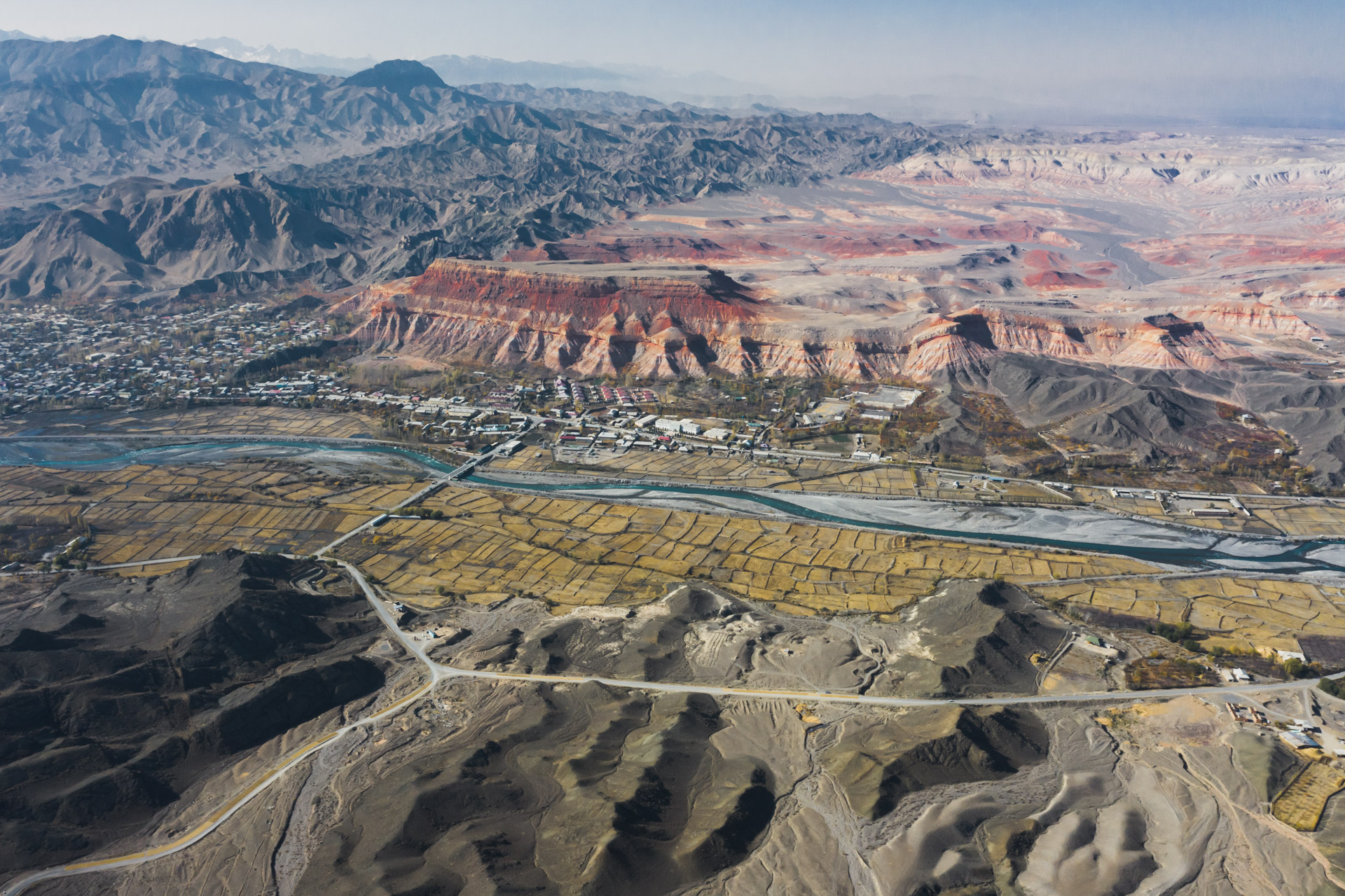
By tradition, the International Summer School under the auspices of UNESCO will be held in the southwestern part of Kyrgyzstan in the Madygen Geopark. You are given a unique opportunity to improve your skills in controlling unmanned aerial vehicles, improve your photography and video shooting skills using a drone and enjoy the unique natural heritage of the foothills of the Turkestan Range in the southwestern Tien Shan of Kyrgyzstan. The Madygen Geopark is the best place to study geological heritage objects with the help of aerial photography and geological mapping using drones. Aerial photographs will make it possible to better imagine and reconstruct the processes of formation of geological objects, make it possible to analyze the geological structure and better understand the history of the geological development of individual geological objects or vast landscapes. This is the best method for geological reconstruction.
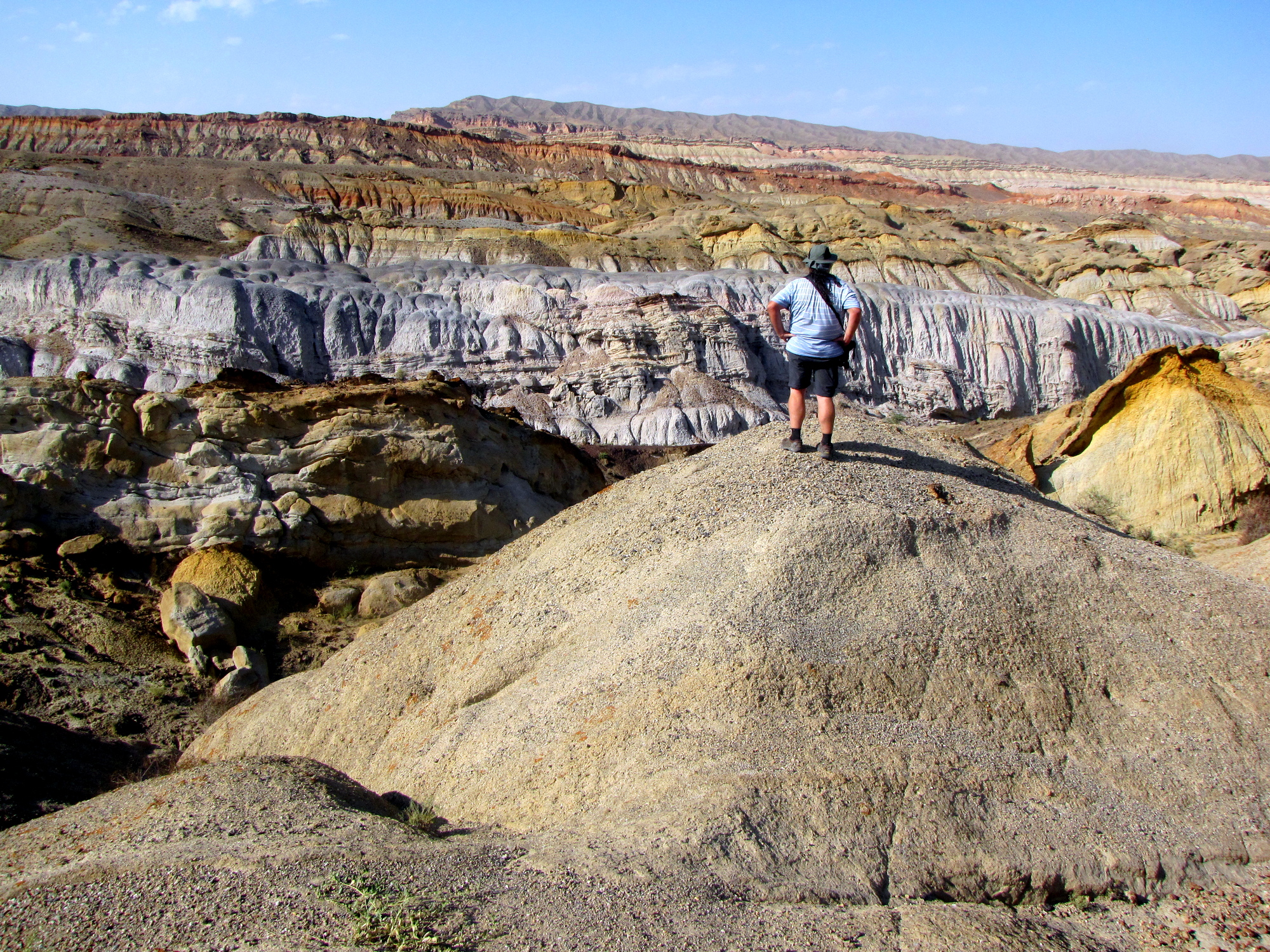
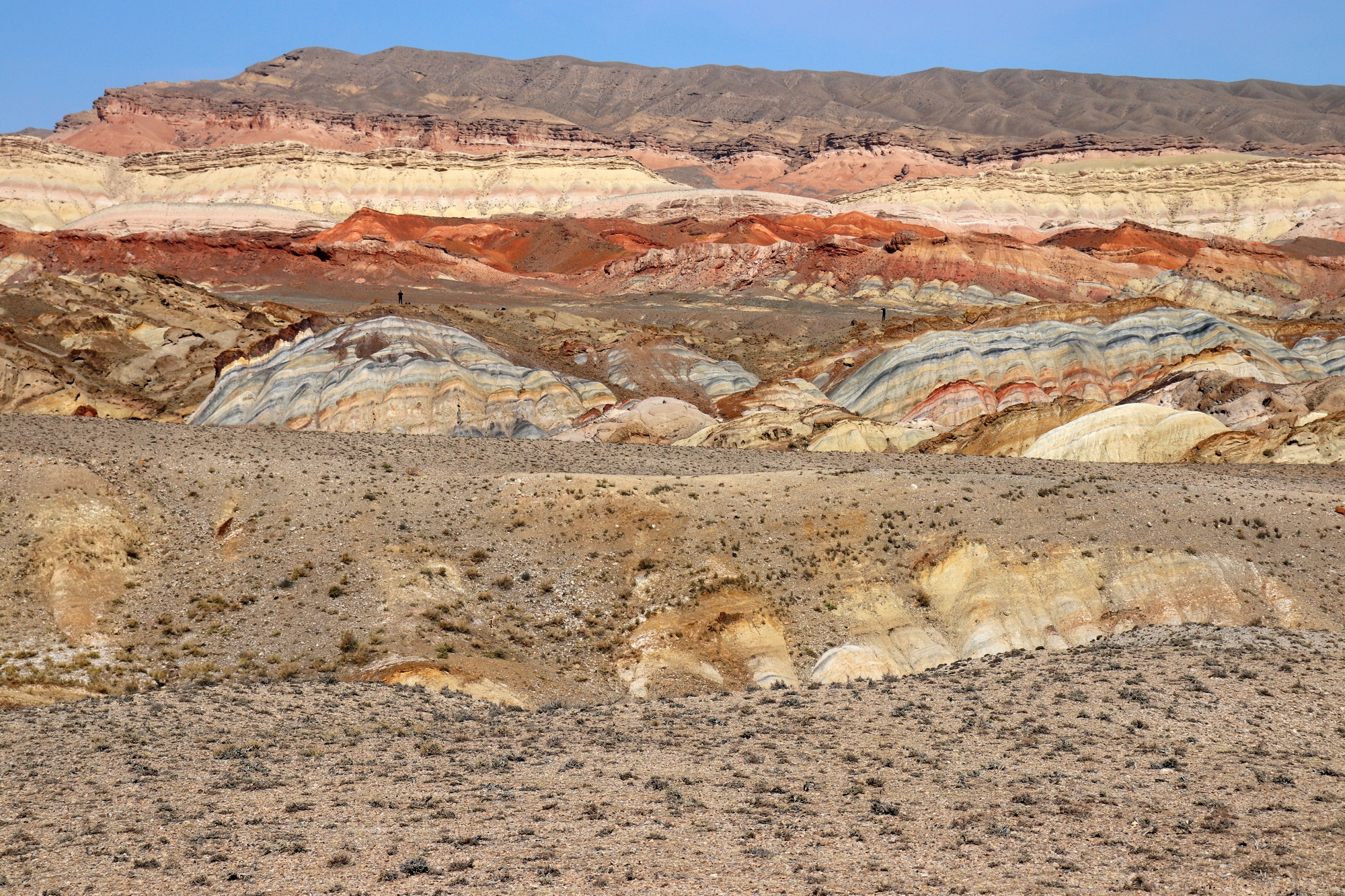
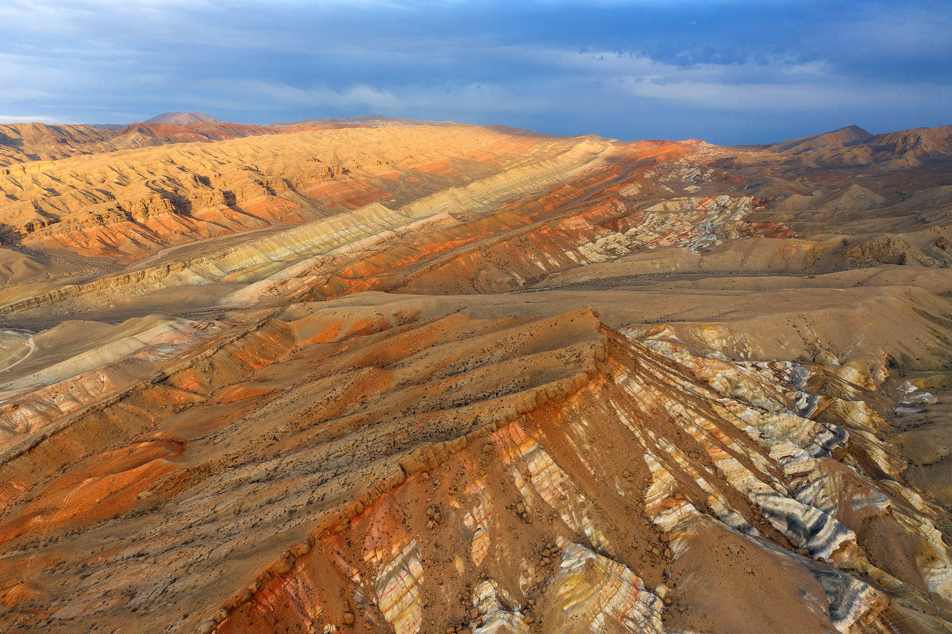
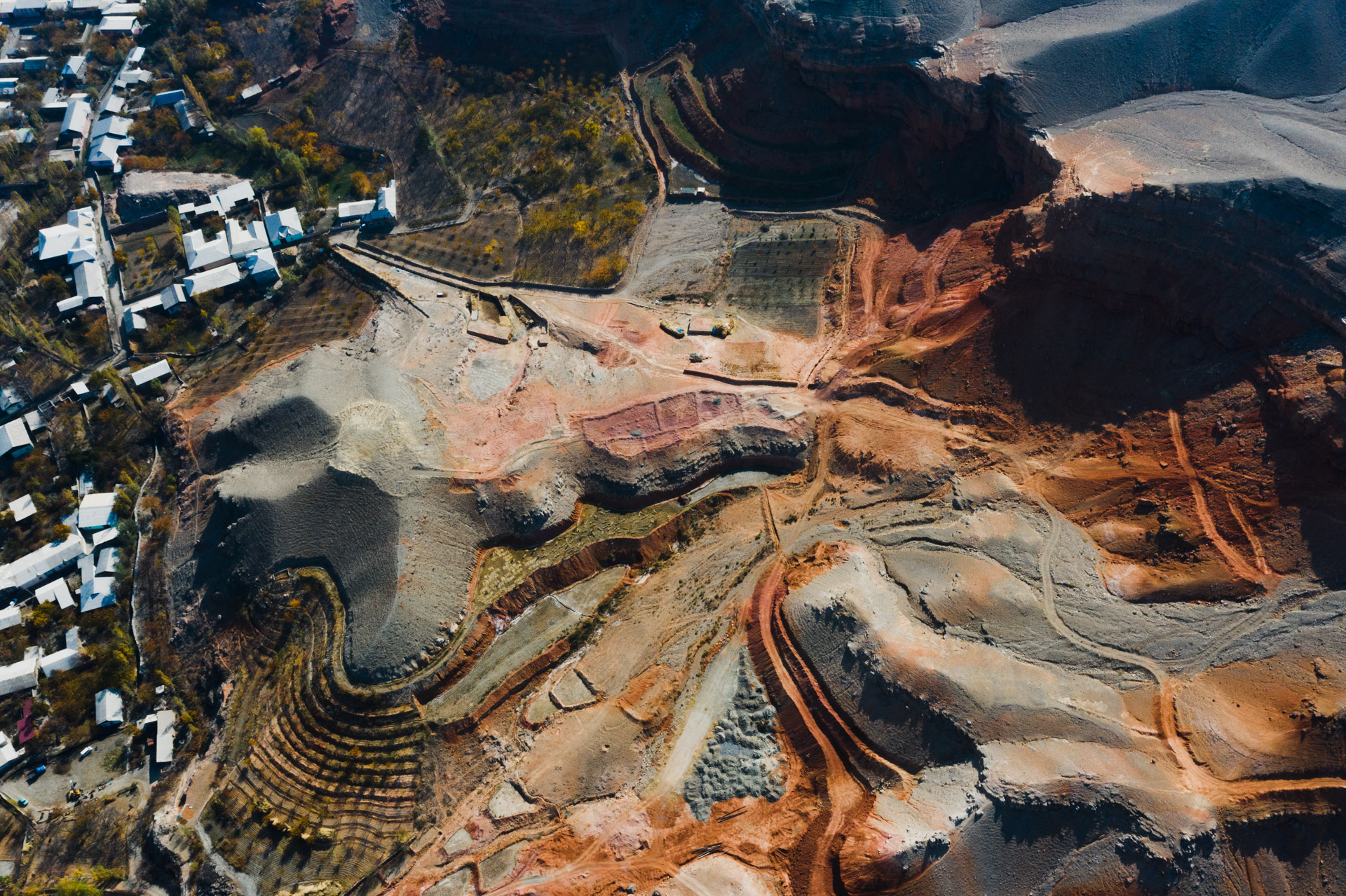
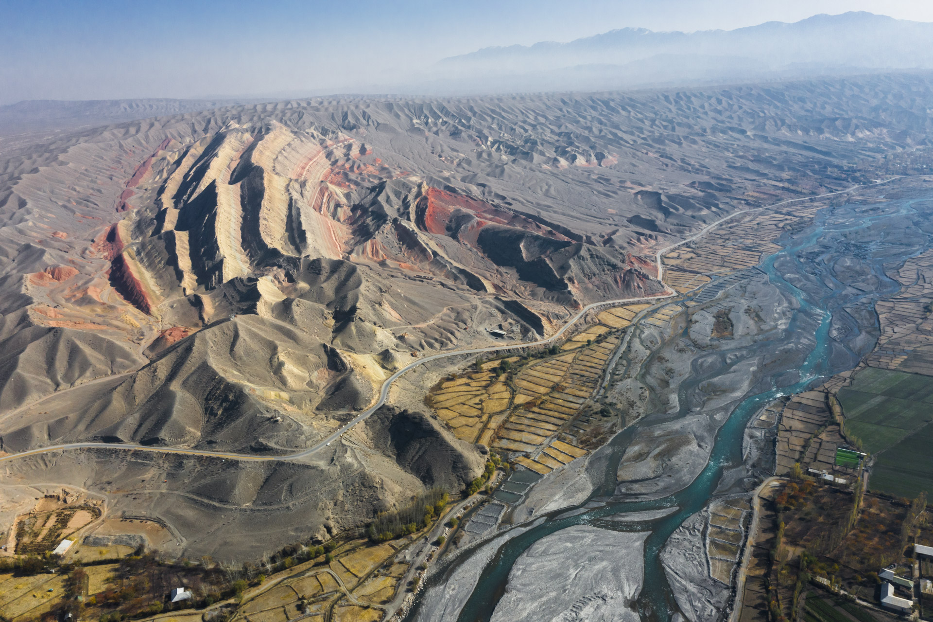
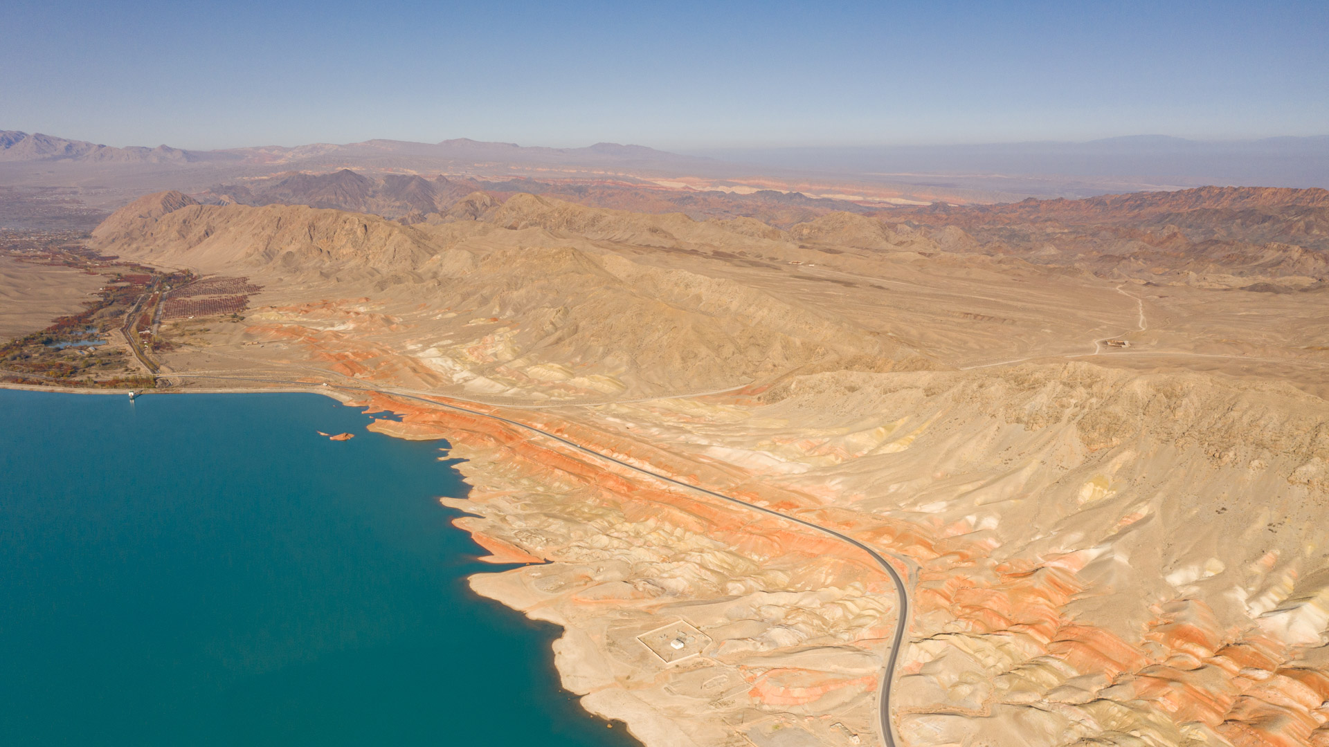
The Madygen Geopark and its adjacent territories have unique opportunities for visually mastering the skills of geological mapping using a drone. Especially, local landscapes, relief and visual geological structure make it possible to master the interpretation of aerial photographs obtained with the help of unmanned aerial vehicles. Very convenient is the possibility of ground checks, reliability control, correction of deciphering signs of landforms, geological structures, geological formations, occurrence elements, Quaternary deposits, as well as dangerous geological phenomena, such as mudflows, landslides and others. Very good accessibility and visibility of geological formations allows you to correct aerial photographs and check the data directly on the ground.
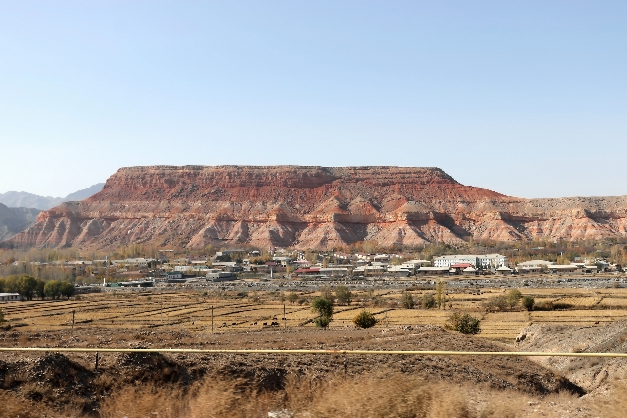
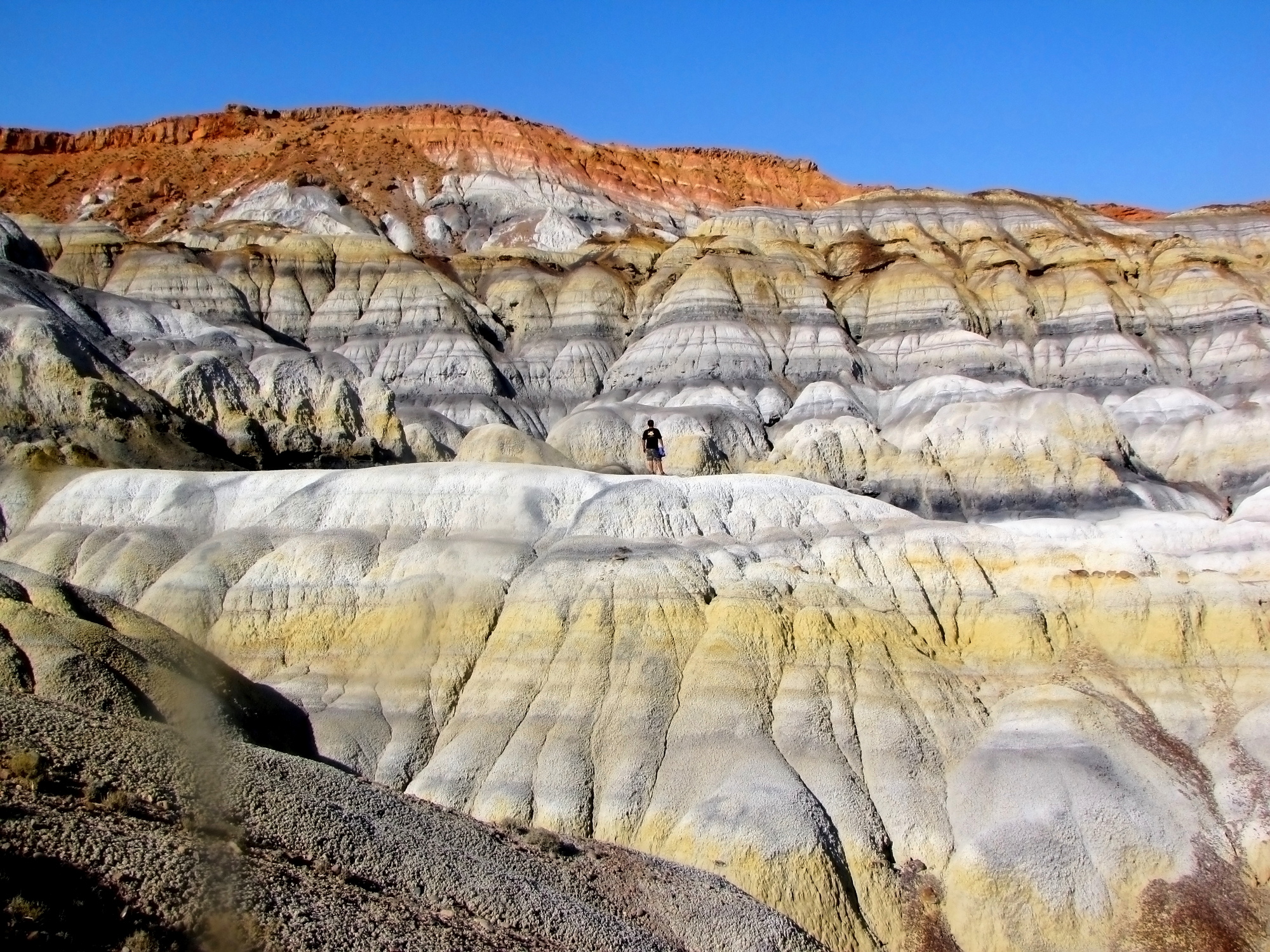
The geopark presents geological, tectonic, geomorphological objects that can be easily deciphered by external signs, using logic and geological patterns. On the territory of the geopark there are variegated landscapes of the Meso-Cenozoic complex of rocks and more monotonous Paleozoic formations. Against their background, various geological processes are formed, from physical weathering to erosion, mudflows and landslides.
The Geopark presents a significant period of the history of the Earth, from the Cambrian to the Quaternary periods. Here, in a compact area, there are unique geological natural monuments and cultural heritage sites that need to be plotted on thematic maps.
The good accessibility of all objects creates a unique opportunity to test aerial image interpretation skills, recognize boundaries and calibrate interpretation features.
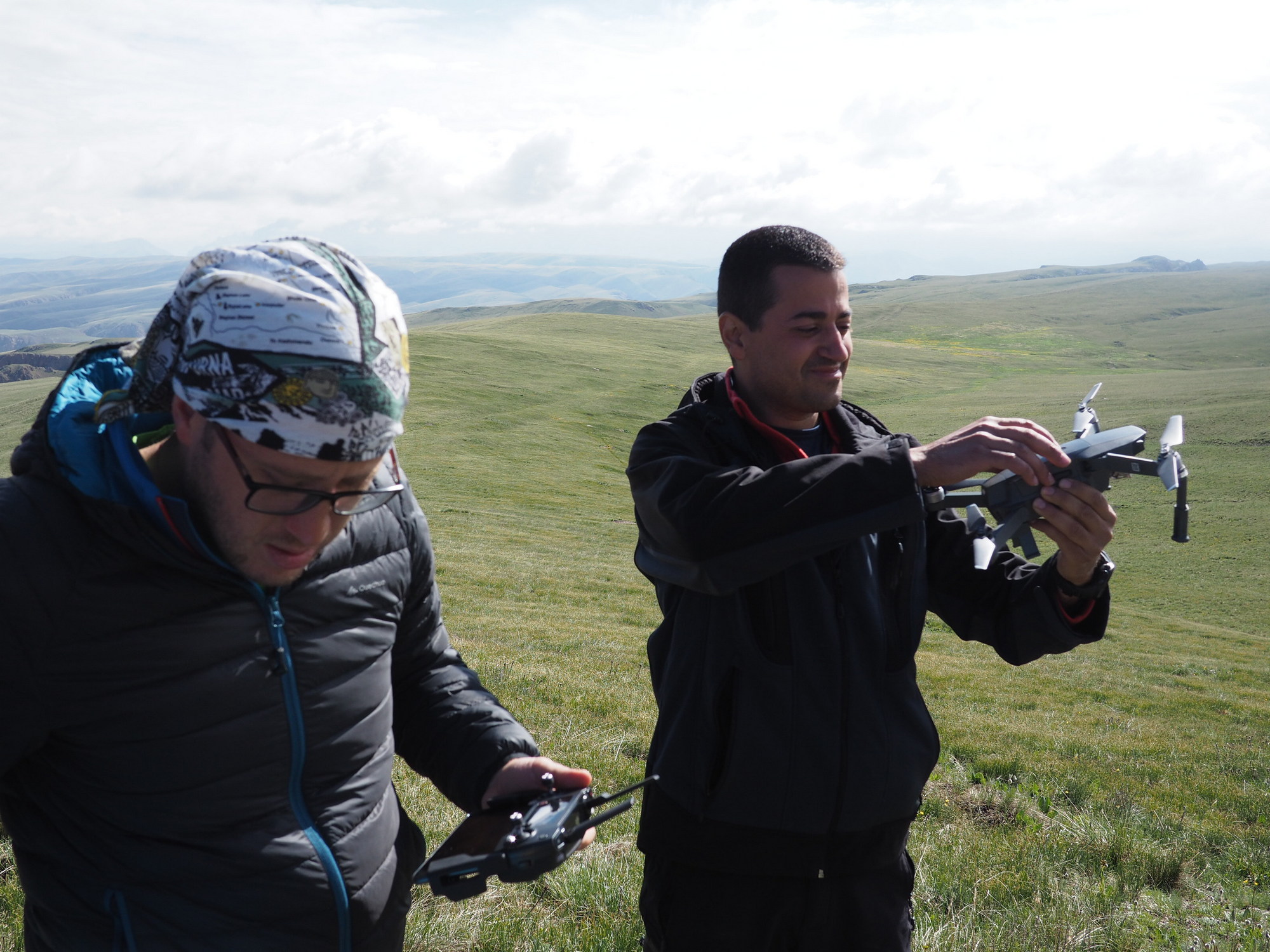
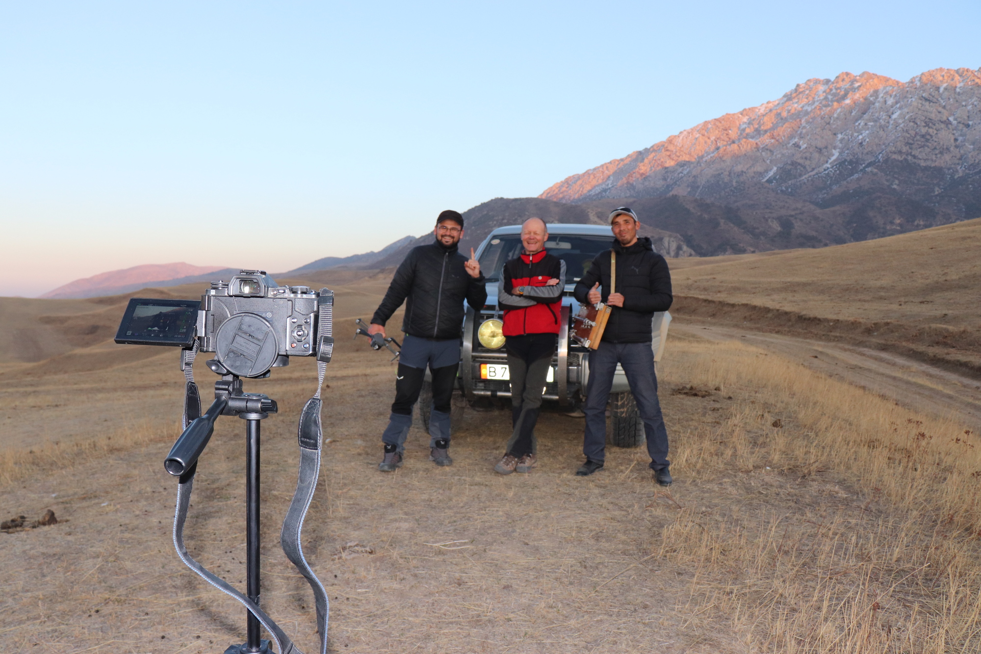
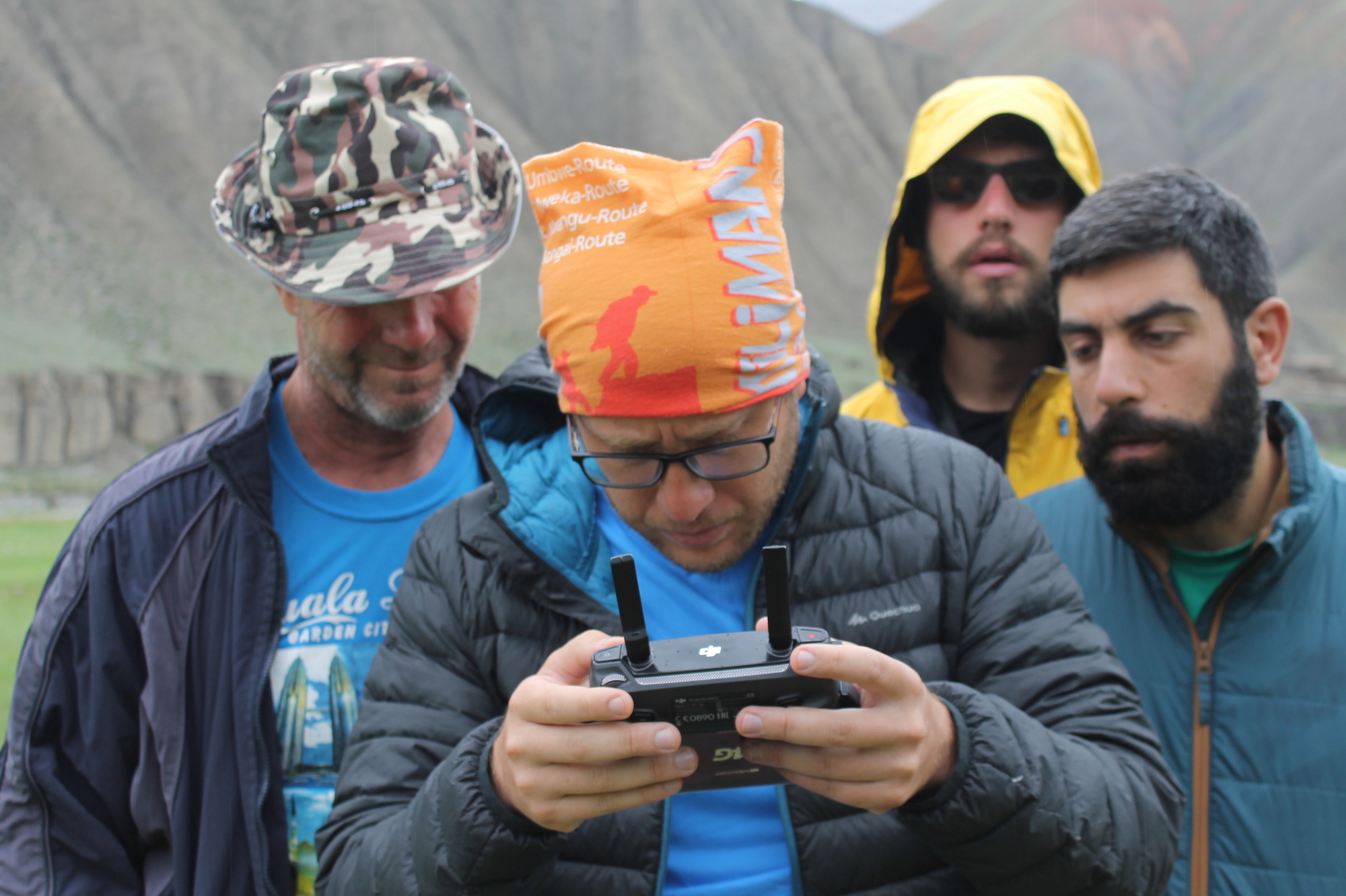
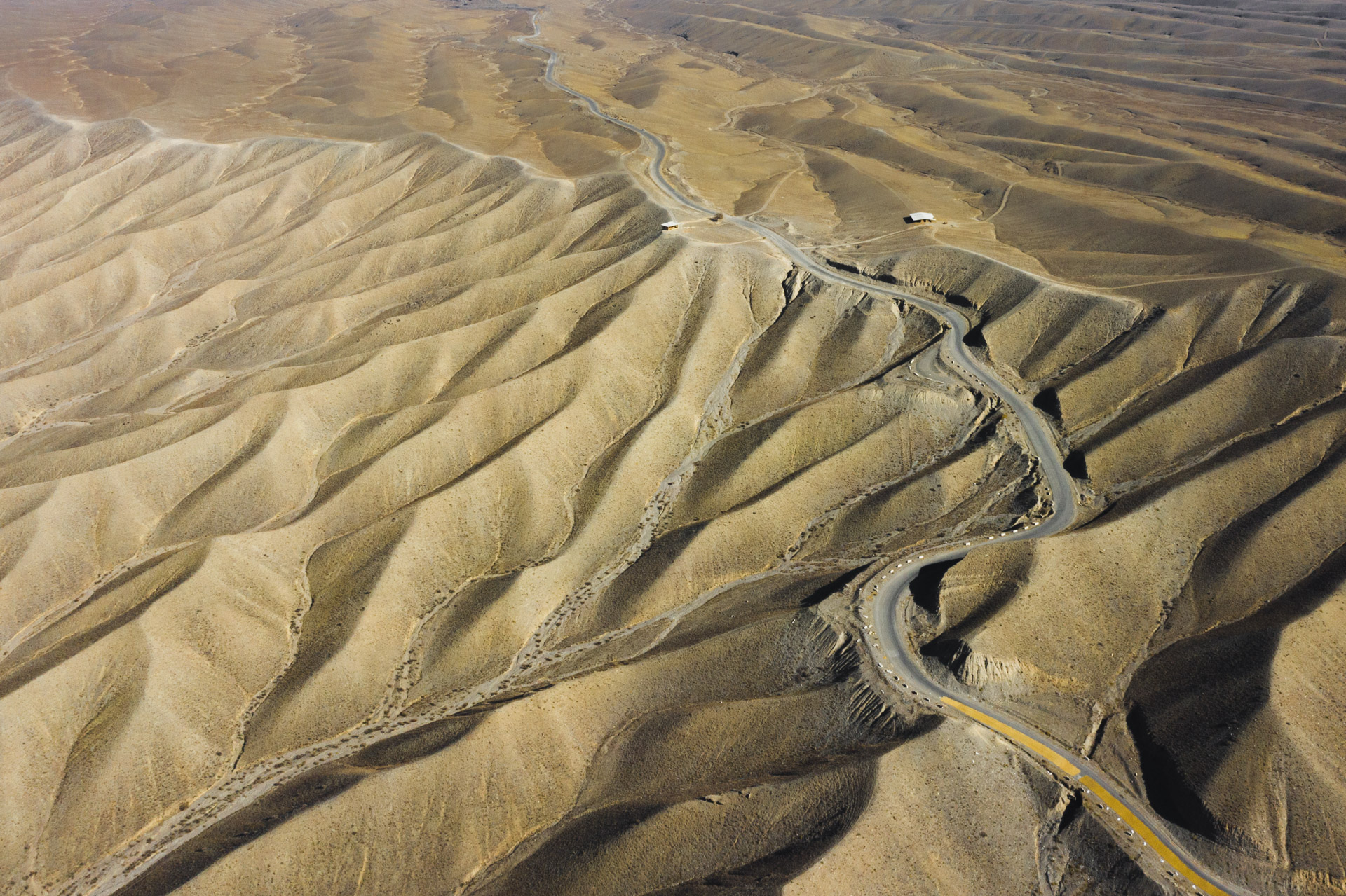
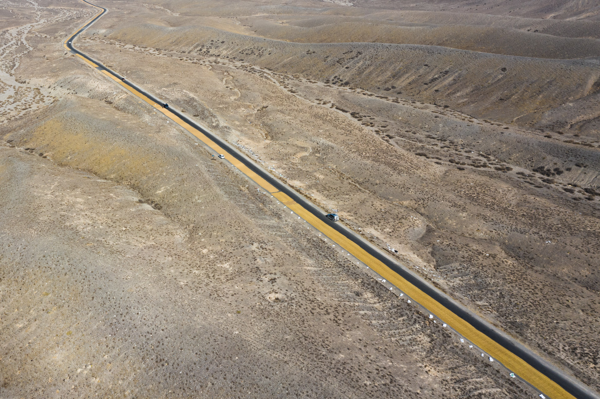
The vast and easily accessible area of the geopark is a great opportunity to learn and improve your drone piloting skills. This is a space for flights and obtaining unique photo and video materials.
The result of the Summer School will be the creation of thematic maps that the geopark needs for the development of infrastructure, scientific research, and geotourism.
At the end of the Summer School, participants will be awarded certificates from the UNESCO Cluster Office in Almaty, the Tien Shan Geological Society and the Kyrgyz Mining University.
Information about Madygen Geopark
Venue: Madygen Geopark
The program includes theoretical lectures and practical trips around the territory of the geopark.
In a programme:
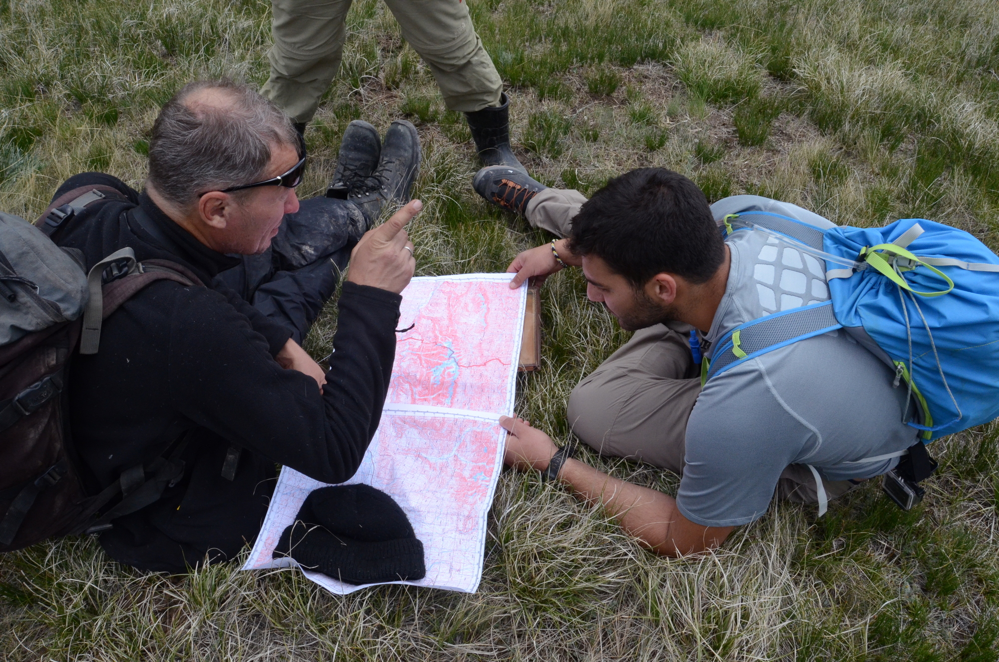
- – Basics of cartography, mastering the skills of working with topographic maps,
- – Fundamentals of Geomorphology and Quaternary Geology,
- – Fundamentals of interpretation of aerial photographs,
- – Technique for deciphering aerial photographs,
- – Fundamentals and signs of object recognition: direct and indirect deciphering signs, features of objects, color, shape, tonality, location, contours.
- – Benchmarking with ground studies, data calibration,
- – Field and office work,
- – Construction of geomorphological maps, structural-geological maps, tectonic maps, maps of Quaternary deposits, maps of geological formations, georisks maps
- – Tools and work technology,
- – Typology of objects of geological heritage,
- – Deciphering geological risks and affected areas
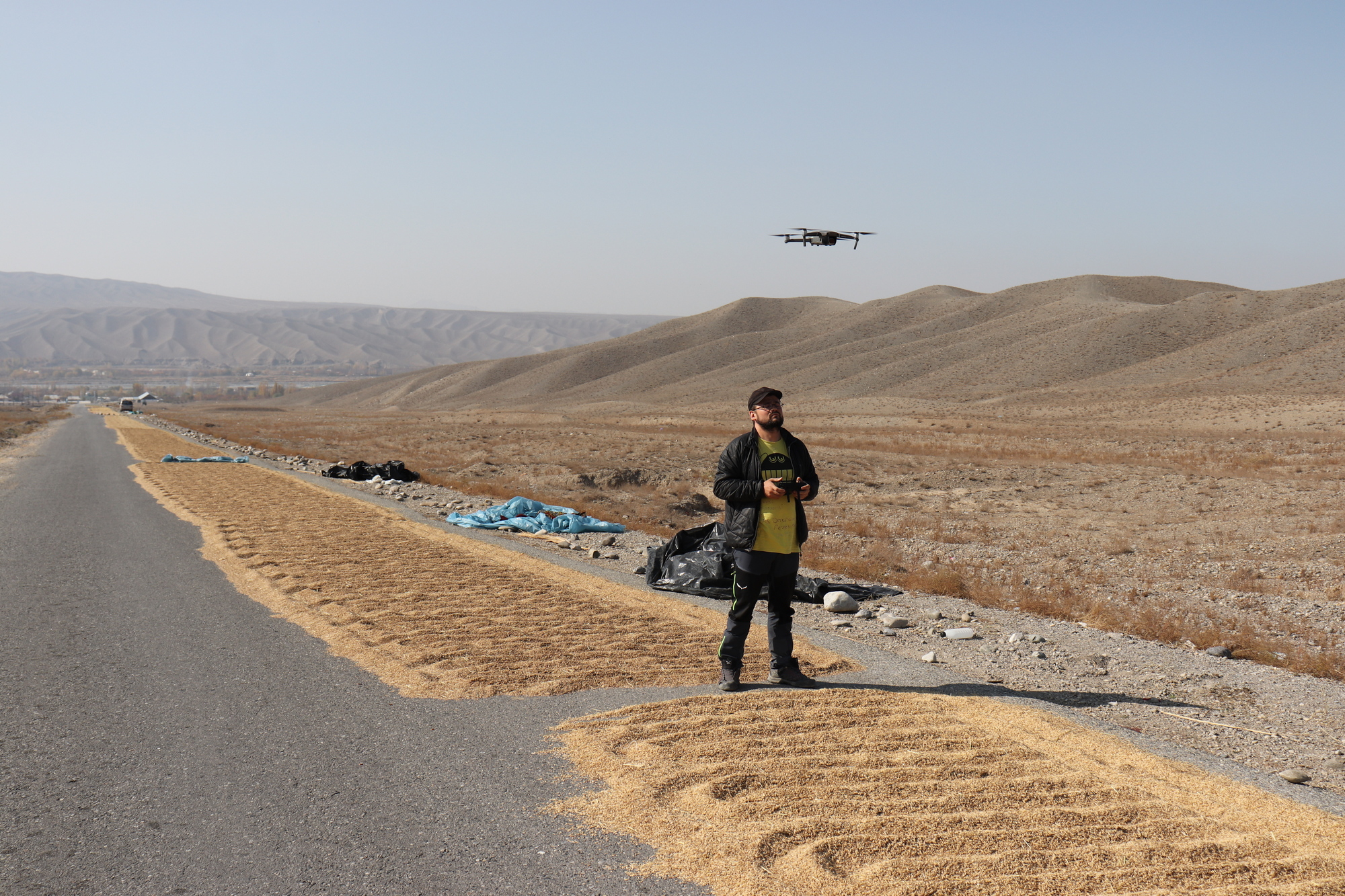
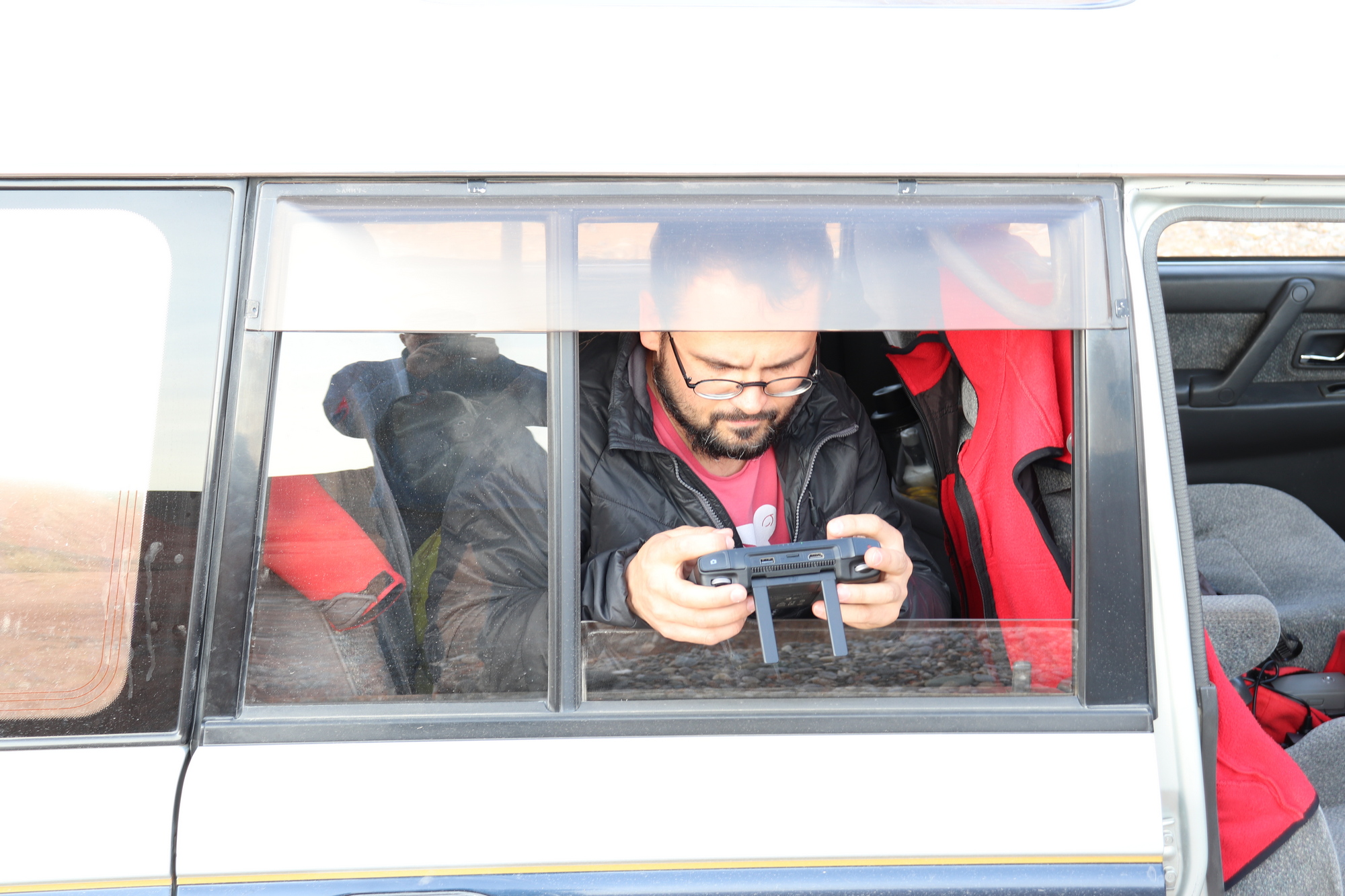
- – Drone piloting skills
- – Coordinate system, binding maps and images on the ground,
- – Creation of a tourist map for geological heritage sites
- – Data digitization
Field International Summer School on geological mapping using orthophotos obtained by drones.
Field Summer School Dates: August 17 – 27, 2023
The number of participants is up to 15 people.
Free routes will be organized for key objects of geological heritage, geological structures, locations with the manifestation of geological risks,
Creating a local geodetic network and linking topographic maps at a scale from 1:20,000 to 1:100,000,
Field ground routes will coincide with air routes,
Acquisition of aerial photographs and clarification – interpretation of aerial photographs in the process of ground surveys.
Electrical equipment will be provided to charge the batteries.
SUMMER SCHOOL ORGANIZERS:
- – Tien Shan Geological Society
- – UNESCO Cluster Office in Almaty
- – Kyrgyz State Mining University
- – Freiberg Mining Academy
At the end of the summer school, participants will be awarded Certificates from UNESCO and the Tien Shan Geological Society
The summer school fee is $70 per day.
This price includes:
– Three meals a day,
– Auto transport
– Hotels in Osh city during arrival and departure,
– Meeting at the airport,
– Paying the chef
– Use of the field base camp
You can find out about the conditions for participating in the summer school by e-mail: info@geotianshan.org or Whats App +996 553 991663